
SEOUL · SUSEONGDONG VALLEY
Suseongdong Valley: a stone bridge 711 metres’ walk uphill from the market lanes
Noah walks uphill from Tongin Market towards Inwangsan, reading a valley named after the sound of its water and an old bridge laid in long single stones
Part two of “Seochon”. The stone bridge in Suseongdong Valley is the only single-slab stone bridge within the old city walls preserved in its original location and form, and the longest of the single-slab stone bridges within those walls. Noah, who reads distance and movement by eye, climbs from the market lanes to the foot of the mountain, facing the way the water comes down.

How to get there
Bus route and stop follow Visit Seoul’s directions (Gyeongbokgung Exit 3 → bus Jongno 09 → Park No-soo Art Museum stop); the distance and time from the stop to the valley are map-route estimates (TMAP).
This is the second of three stories from Seochon. The issue began in the lanes of Tongin Market; from here it climbs to a valley at the foot of Inwangsan. Today’s one place is Suseongdong Valley.
Noah reads distance and movement by eye. On Seoullo 7017 he read speed, at Jongmyo he read length, and at Seoul Sky he read height. Today it is the gradient: where a flat market lane tips into a climb, and which way the water runs at the top.
A weekday, two in the afternoon. Noah writes on the first line of his notebook: “The water comes down. I go up.”
711 metres from Tongin Market
From Tongin Market (map reference point) to Suseongdong Valley (map reference point), the map route is 711 m, about 10 minutes (TMAP pedestrian route calculation).
By a map app’s walking route, Tongin Market to Suseongdong Valley is 711 m, about 10 minutes. Both ends are the map’s reference points, so the figure shifts a little depending on which market entrance you leave by and where in the valley you stop. Walking straight from Exit 3 of Gyeongbokgung Station (Line 3), the same calculation gives 1,303 m, about 17 minutes. Find on a map
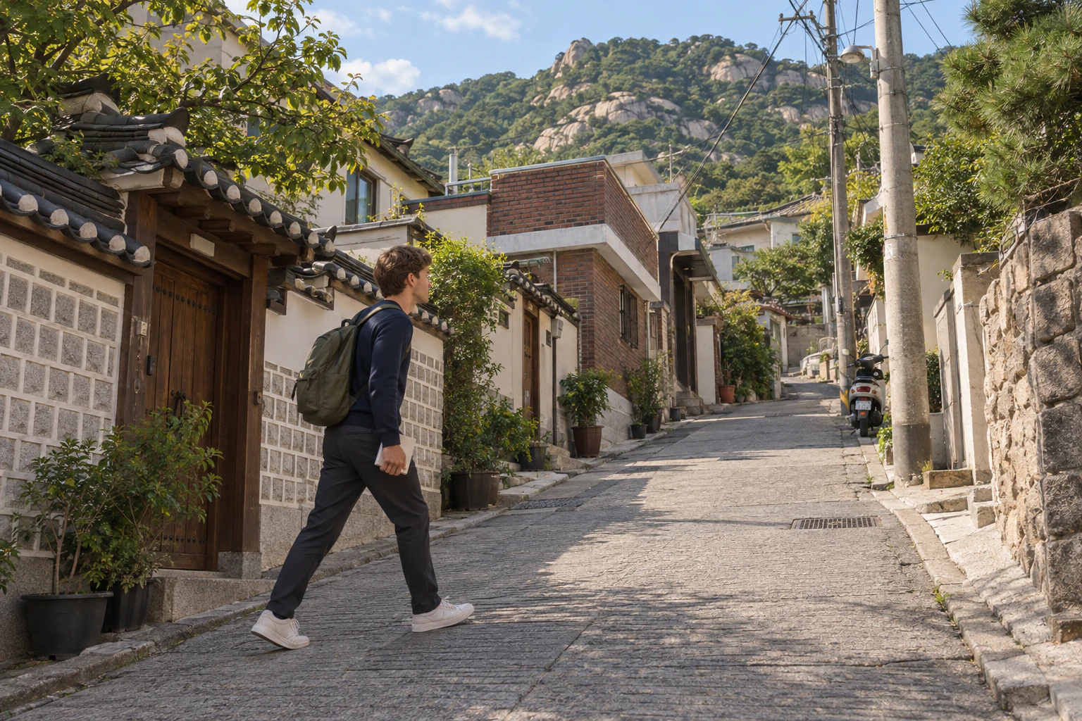
Visit Seoul, run by the Seoul Tourism Organization, gives a bus rather than a walk: from Gyeongbokgung Station Exit 3, take bus Jongno 09 and get off at the Park No-soo Art Museum stop. From that stop to the valley, the map route is 366 m, about 5 minutes. Visit Seoul ends its directions with “406 m”, without saying from where to where.
Noah chooses to walk. This map route gives distance and time but not the gradient; that you read with your legs. Turn off the market lanes towards the hill and the streets narrow and each step gets a little heavier. Noah writes “flat ends, climb begins” and looks up. Above the lane, the mountain draws closer one step at a time.
A valley named after its water
TourAPI overview: Suseongdong Valley carries water down from Inwangsan to join the Cheonggyecheon; the sound of its water was so loud and clear, it is said, that in the Joseon period the neighbourhood was called Suseong-dong (水聲洞, “water-sound village”).
The Korea Tourism Organization describes Suseongdong Valley as a stream that runs down from Inwangsan and joins the Cheonggyecheon. The sound of its water was so loud and clear, the story goes, that in the Joseon period the neighbourhood was called Suseong-dong (水聲洞) — roughly, “the village of the sound of water”. Find on a map
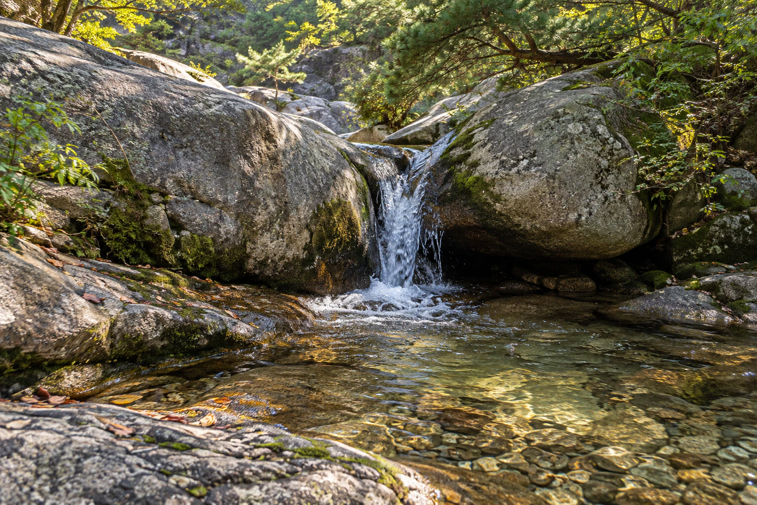
Noah reads the direction first. The water runs down from the mountain towards the city centre — exactly the opposite of Noah, who has just walked up from it. What was a single line on the map becomes, here, a path where the climber and the water face each other.
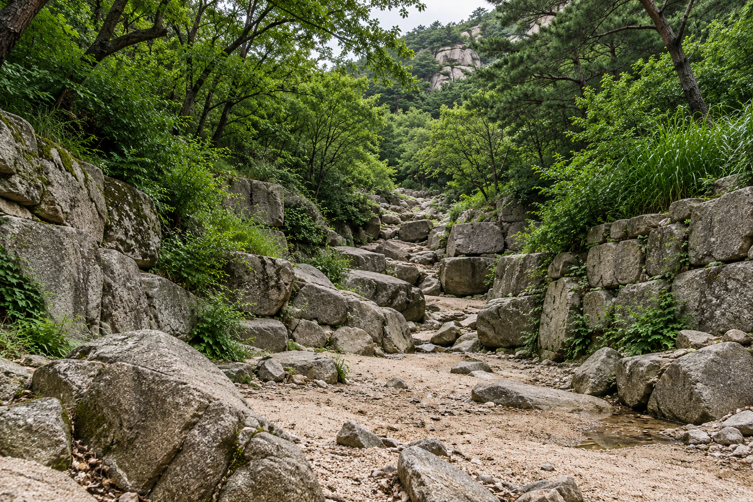
A name about water doesn’t promise water, though. In the public photographs, some show a small cascade dropping between granite boulders into a clear pool; others show a streambed with barely any water and the stones laid bare. Noah writes: “If there’s water, listen. If not, look at the rock.”
One bridge of long single stones
National Heritage Service: the stone bridge across the lower valley also appears in Jeong Seon’s painting, and is of great value in the history of bridges as, within the old city walls, the only bridge preserved in its original form and position and the longest made from single slabs of stone.
Across the lower valley lies a stone bridge — the one the Seoul Metropolitan Government calls Giringyo. The National Heritage Service says it also appears in a painting by Jeong Seon (Gyeomjae), and that it is of great value in the history of bridges as, within the old city walls, the only bridge preserved in its original place and form and the longest made from single slabs of stone. Find on a map
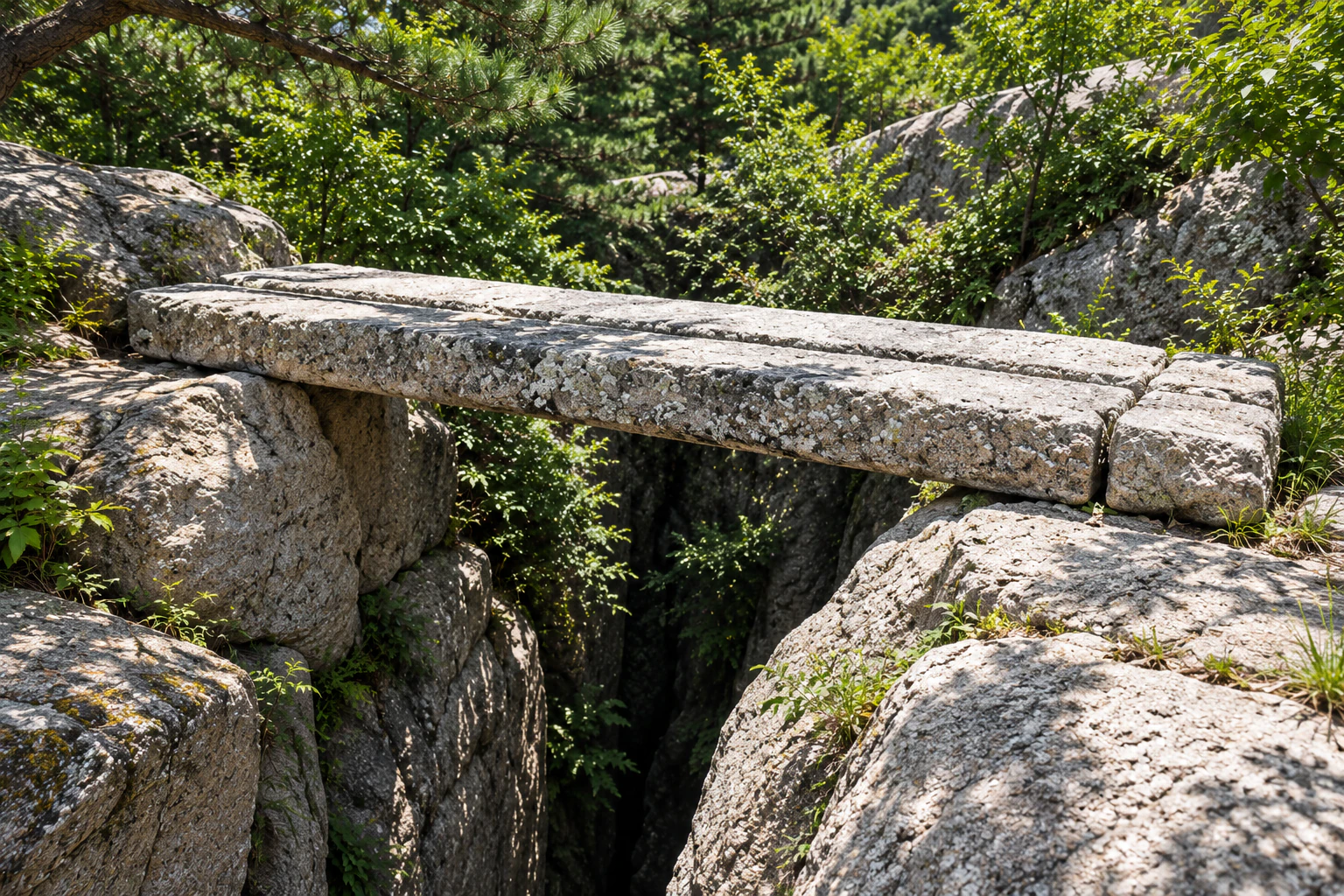
This is where Noah wants a tape measure. In the public photographs, long dressed stones simply lie across a narrow cleft in the rock. So Noah writes down the shape instead of a number: “Narrow gap, long stone.”
Whether you may walk across it is for the signs on site to say. Noah stands beside the bridge and looks at it side-on for a long time. A stone said to have kept its place inside the old city reads well enough without being crossed.
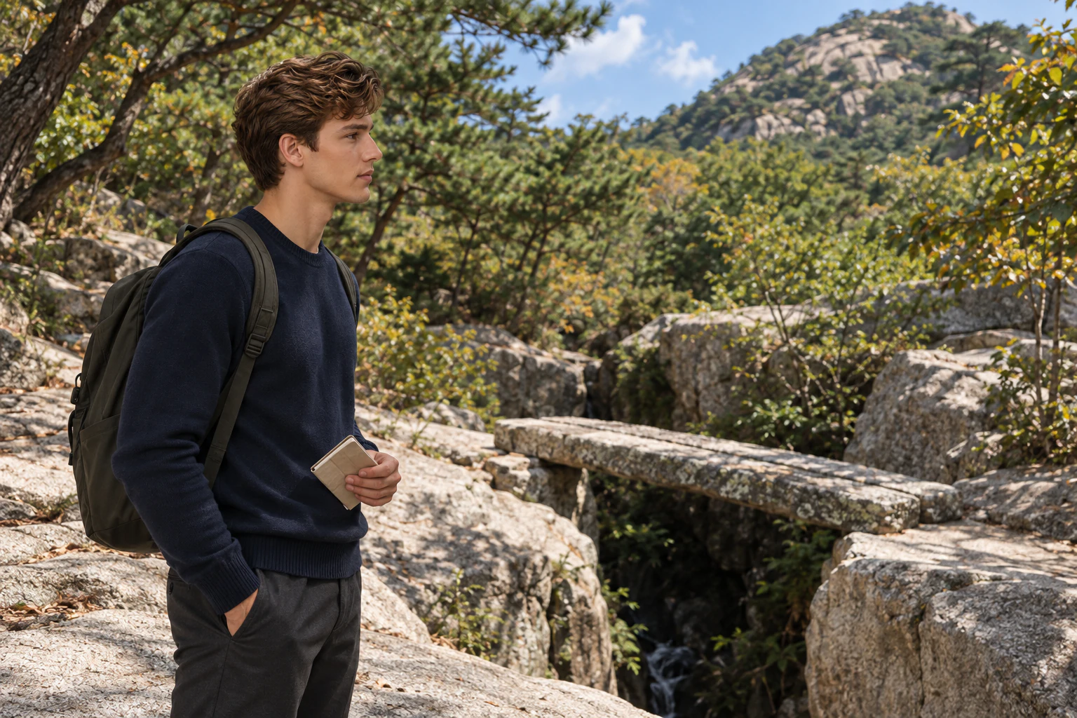
The plaza where the painter may have stood
Seoul Metropolitan Government (July 2012): a viewing area was laid out on the plaza at the mouth of the valley, the spot where Jeong Seon is presumed to have painted it. His painting of the valley shows three scholars and a boy servant who seem to have just crossed the Giringyo bridge, heading into the valley. Large shade trees and round benches were placed around the viewing area.
According to the National Heritage Service, the area was introduced as a scenic spot in Joseon-era geographies such as the Donggukyeoji bigo and the Hangyeong jiryak, and it appears in Jeong Seon’s painting Suseong-dong. The Korea Tourism Organization adds that it was beautiful enough to be included in Jangdong Palgyeong-cheop, Jeong Seon’s album of eight scenic views of Bugaksan and Inwangsan. Find on a map
In 2012 the Seoul Metropolitan Government announced a viewing area on the plaza at the mouth of the valley — the spot where Jeong Seon is presumed to have painted it. His picture, it says, shows three scholars and a boy servant who seem to have just crossed Giringyo, heading further into the valley. Large shade trees and round benches were placed around the viewing area, the announcement said.
For Noah this is a question of position. Fix where the painter stood, and you fix what is in front of what: bridge, rock, mountain. He sits at the edge of the plaza and draws three lines in his notebook — the bridge in front, the rock in the middle, the mountain behind.
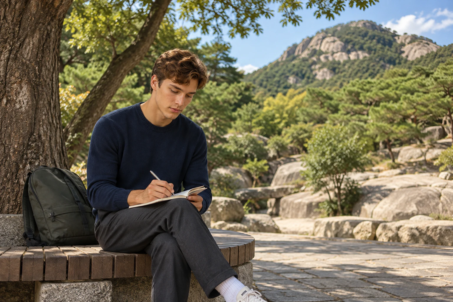
The National Heritage Service also records that in the late Joseon period the area was the main stage of wihang literature, centred on the jungin (middle-status groups). A famous painter’s view, then, but also a place where people outside the elite gathered to write.
Apartments in 1971, a valley again in 2012
Seoul Metropolitan Government (July 2012): after designating the valley as heritage in 2010 while demolishing the Ogin Model Apartments, the city finished restoration work and opened the valley to the public from 11 July 2012. Man-made structures were kept to a minimum, the bedrock of the stream was exposed as far as possible, and 18,477 trees and shrubs, pines among them, were planted. A traditional square pavilion (the samojeong type) was built by the stream, and wooden footbridges in the form of stepping stones were placed along it.
In the Korea Tourism Organization’s account, the valley lost its scenery in 1971, when the Ogin Model Apartments went up here. The Seoul Metropolitan Government designated the valley as heritage in 2010, while those apartments were being demolished, finished restoring it, and opened it to the public on 11 July 2012. Find on a map
According to the 2012 announcement, the aim was to bring back the landscape of Jeong Seon’s painting. Man-made structures were kept to a minimum and the bedrock of the stream was exposed as far as possible. Some 18,477 trees and shrubs, pines among them, were planted; a traditional square pavilion went up by the stream, and wooden footbridges shaped like stepping stones were placed along it.
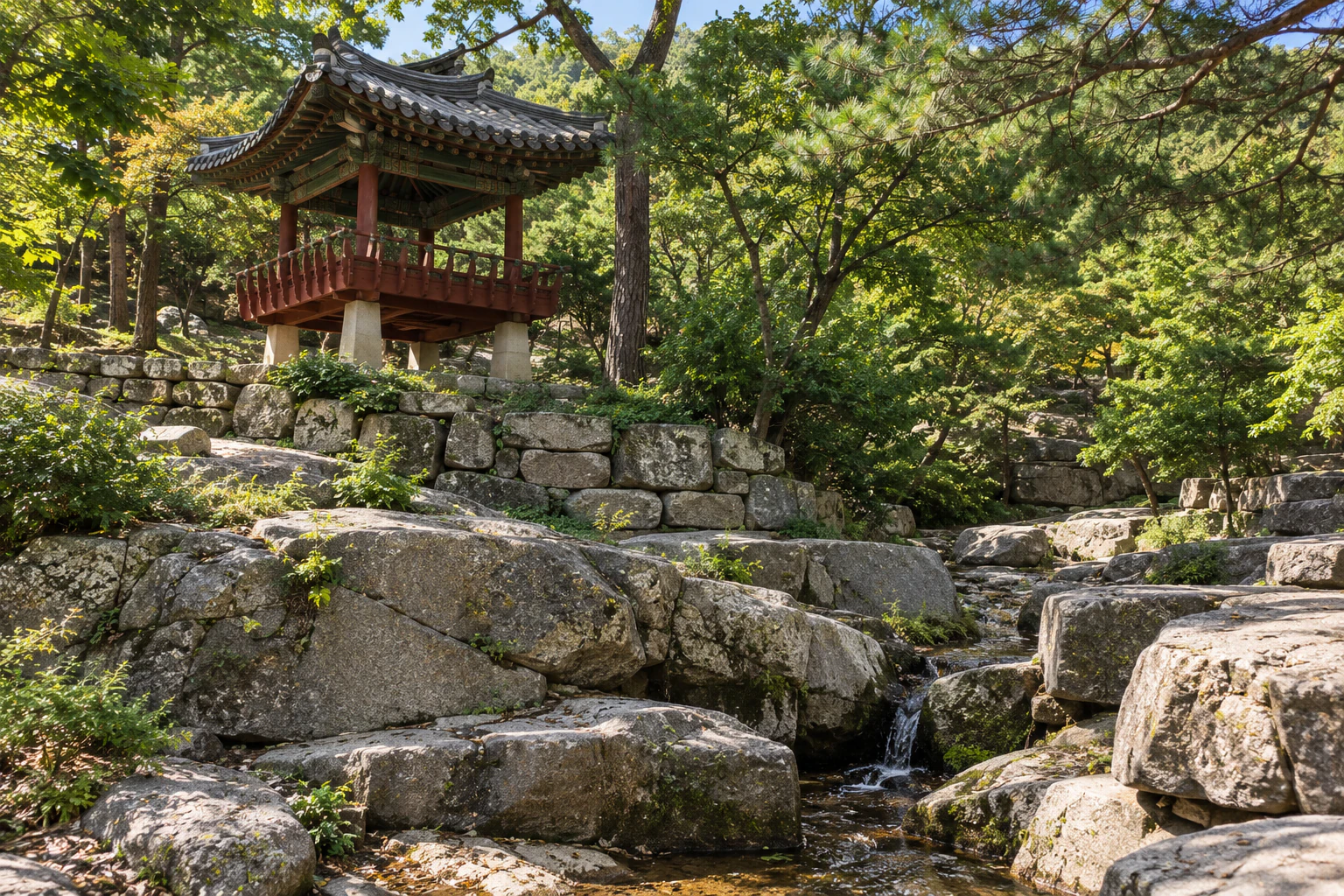
The National Heritage Service lists the valley as designated a Seoul monument on 21 October 2010, and, from 11 July 2024, as a provincial-level natural heritage. The designation covers the one stone bridge, the valley and its land. Noah lines the years up on a single line: 1971, 2010, 2012. The time the apartments stood, and the time the rock came back into view.
As the light goes, Noah looks down from the upper valley. The watercourse between the rocks leads away towards the city. Beside the first line he wrote on the way up, he adds another: “Going down, same way as the water.” The gradient he read today wasn’t a number after all. It was the place where his steps grew heavy, and the direction the water runs.
The last story from Seochon is the Yun Dong-ju Literary Museum. Elena walks this one.
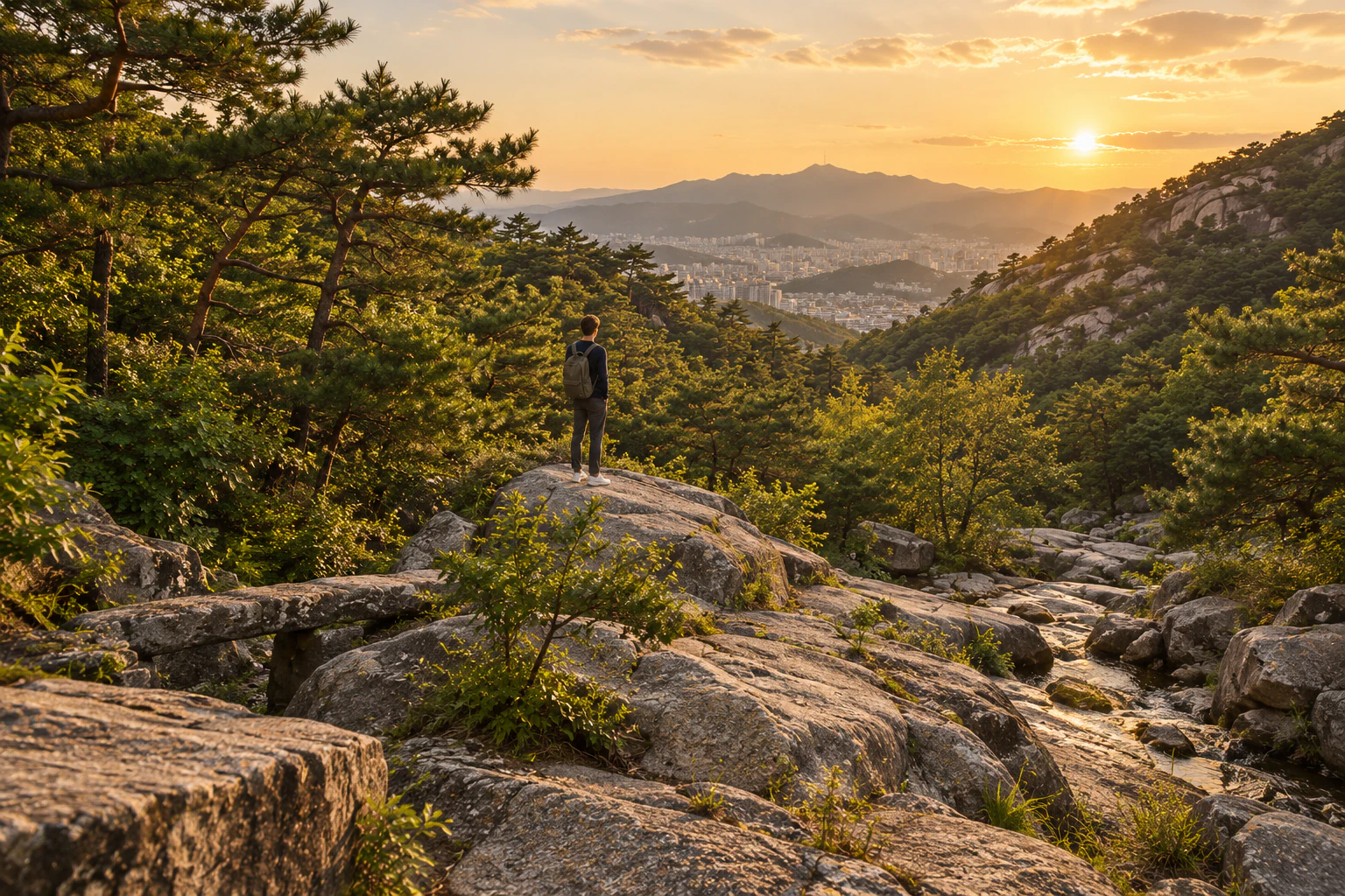
(※ This article includes staged images created with AI.)
Make it your afternoon
An editorial suggestion: walk up from Tongin Market or Gyeongbokgung Station Exit 3 and feel where the flat turns into a climb; read what stands in front of what from the plaza at the mouth of the valley; look at Giringyo side-on; and, if the water is running, follow its sound back down.
A diagram of the order only · not to scale, orientation or the actual shape of the streets.
- Walk up from Tongin Market or Gyeongbokgung Exit 3 — 711 m, about 10 min from Tongin Market; 1,303 m, about 17 min from Gyeongbokgung Station Exit 3 (TMAP estimates between map reference points). By bus, Visit Seoul gives Jongno 09 to the Park No-soo Art Museum stop, then 366 m, about 5 min to the valley (TMAP). Find on a map
- Read the layers from the plaza — In 2012 the Seoul Metropolitan Government announced a viewing area here, at the spot where Jeong Seon is presumed to have painted. Find on a map
- See Giringyo side-on — The National Heritage Service describes it as, within the old city walls, the only bridge in its original place and form and the longest made from single slabs of stone. Follow the signs on site as to whether it may be crossed. Find on a map
- Follow the sound of water back down — The public photos show the stream both running and almost dry. If there’s little water, look at the exposed rock. Find on a map
Getting there
Checked 2026.09.30
Visit Seoul (Seoul Tourism Organization) transport information: Gyeongbokgung Station Exit 3 (Line 3), take bus Jongno 09, get off at the Park No-soo Art Museum stop, 406 m.
Hours & fees
TourAPIChecked 2026.09.30
TourAPI (Korea Tourism Organization), Suseongdong Valley: open at all times, no closing days, free admission, no parking.
Good to know
Checked 2026.09.30
Observation of public photos (two from the National Heritage Service, three from Visit Seoul, one from the foreign-language TourAPI): a stone bridge of long single slabs crossing a narrow cleft in the rock with a rocky peak behind, a small cascade falling between granite boulders into a clear pool, a nearly dry streambed with stone retaining walls, and a square pavilion above the stone walls.
Background11
TMAPChecked 2026.09.30
From the Park No-soo Art Museum stop (village bus, stop no. 100900034) to Suseongdong Valley (map reference point), the map route is 366 m, about 5 minutes (TMAP pedestrian route calculation).
TMAPChecked 2026.09.30
From Gyeongbokgung Station Exit 3 (Line 3) to Suseongdong Valley (map reference point), the map route is 1,303 m, about 17 minutes (TMAP pedestrian route calculation).
TMAPChecked 2026.09.30
From Tongin Market (map reference point) to Suseongdong Valley (map reference point), the map route is 711 m, about 10 minutes (TMAP pedestrian route calculation).
TourAPI overviewChecked 2026.09.30
Suseongdong Valley carries water down from Inwangsan to join the Cheonggyecheon; the sound of its water was so loud and clear, it is said, that in the Joseon period the neighbourhood was called Suseong-dong (水聲洞, “water-sound village”).
National Heritage ServiceChecked 2026.09.30
“Suseongdong Valley, Inwangsan” was designated a Seoul monument (provincial-level monument) on 21 October 2010; on 11 July 2024 that listing was lifted and the site now appears, from the same date, as a provincial-level natural heritage. The designation covers one stone bridge and the valley with its land.
National Heritage ServiceChecked 2026.09.30
the area around what was Ogin Apartments was Suseong-dong in the Joseon period, introduced as a “scenic spot” in geographies such as the Donggukyeoji bigo and the Hangyeong jiryak, and it appears in Jeong Seon’s (Gyeomjae) painting Suseong-dong. In the late Joseon period it was the main stage of wihang literature, centred on the jungin (middle-status groups).
National Heritage ServiceChecked 2026.09.30
the stone bridge across the lower valley also appears in Jeong Seon’s painting, and is of great value in the history of bridges as, within the old city walls, the only bridge preserved in its original form and position and the longest made from single slabs of stone.
Checked 2026.09.30
Seoul Metropolitan Government (July 2012): a viewing area was laid out on the plaza at the mouth of the valley, the spot where Jeong Seon is presumed to have painted it. His painting of the valley shows three scholars and a boy servant who seem to have just crossed the Giringyo bridge, heading into the valley. Large shade trees and round benches were placed around the viewing area.
TourAPI overviewChecked 2026.09.30
the valley was beautiful enough to be included in Jangdong Palgyeong-cheop, Jeong Seon’s album of eight scenic views of Bugaksan and Inwangsan.
Checked 2026.09.30
Seoul Metropolitan Government (July 2012): after designating the valley as heritage in 2010 while demolishing the Ogin Model Apartments, the city finished restoration work and opened the valley to the public from 11 July 2012. Man-made structures were kept to a minimum, the bedrock of the stream was exposed as far as possible, and 18,477 trees and shrubs, pines among them, were planted. A traditional square pavilion (the samojeong type) was built by the stream, and wooden footbridges in the form of stepping stones were placed along it.
TourAPI overviewChecked 2026.09.30
the valley lost its scenery when the Ogin Model Apartments went up in 1971; forty years later the apartments were demolished and the area was designated a heritage protection zone, and it regained its original beauty.
- According to the Korea Tourism Organization’s TourAPI, the valley is open at all times, every day of the year, with free admission; there is no parking (checked 30 September 2026). Visit Seoul likewise gives 24 hours, no closing days, free.
- Walking distances and times are map-route estimates between reference points, not to a particular valley entrance. Visit Seoul gives “406 m” alongside its Park No-soo Art Museum stop directions.
- The pavilion, footbridges, shade trees and round benches are as announced by the Seoul Metropolitan Government in 2012.
More from this area
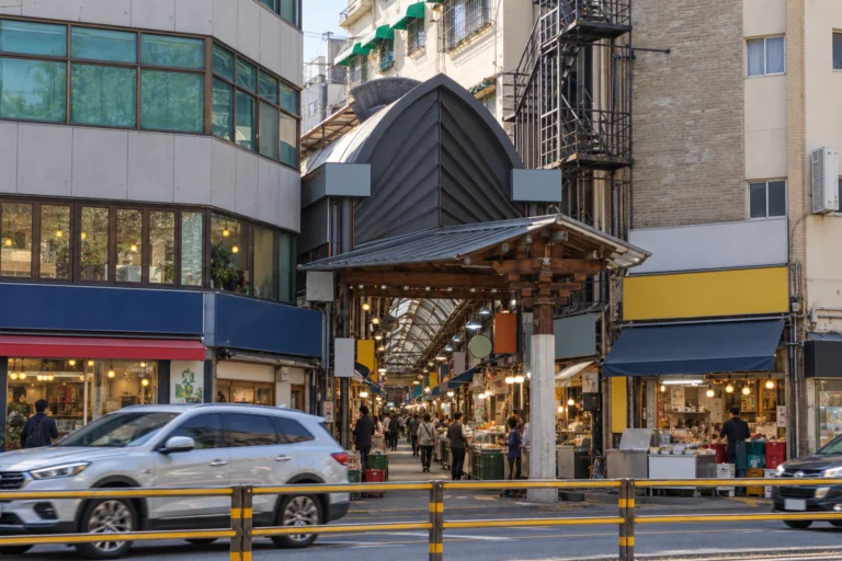
Tongin Market: Ten Coins and a Lunch Chosen Again, One Space at a Time
Part one of “Seochon.” Tongin Market, in the middle of Seochon to the west of Gyeongbokgung Palace, grew out of a public market founded in 1941 and now has some 70 shops. Since 2012 its lunchbox café has let visitors swap cash for old-style coins and fill a tray with small portions from around the market. Maya saved a picture of that finished tray on a screen long ago. This time she walks the aisle and fills the spaces herself.
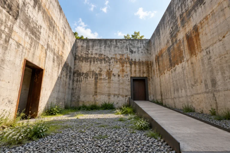
The Yun Dong-ju Literature Museum: Two Water Tanks Behind One Square of Sky
The last part of “Seochon.” Water-stained concrete walls with the sky cut into a square above them: that is the Yun Dong-ju Literature Museum Elena knows from screens. Elena, who reads scenes, heads up to Jahamun Pass to find out whether that smooth shot holds on the street — and why it always seems to be the same shot.