
SEOUL · HANGANG
Seoraeseom: In by One of Three Small Bridges, Out by Another
Rina walks along the river from Dongjak Station, crosses onto Seoraeseom by one bridge, follows the water’s edge under the willows, and leaves by another bridge as the sun gets low
A new piece for the Han River issue. Seoraeseom is an artificial islet made in the 1980s during the Han River Comprehensive Development, linked to Banpo Hangang Park by three bridges. Canola and buckwheat are planted there by season. Rina walked past it one evening when she came to Banpo for the fountain. This time she goes on a weekday afternoon.
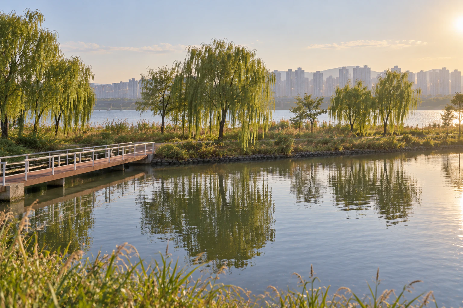
How to get there
The Seoul Hangang Parks website gives a riverside walk from Dongjak Station Exits 1 and 2 (towards Seoraeseom), and the Seoraeseom underpass for those coming from Gubanpo Station Exits 1 and 2.
This is a new piece for the Han River issue. In an earlier piece Maya waited under Banpo Bridge for the first evening show of the Moonlight Rainbow Fountain. This time it is the same Banpo Hangang Park, but a small islet between Banpo Bridge and Dongjak Bridge: Seoraeseom.
Rina is someone who goes back to the same place twice. The first time she takes in the whole; the second time she looks for what she missed. Her first time at Banpo was an evening visit for the fountain. People had gathered on the riverbank near the bridge, and Rina stood among them, watched the water and went home. On the subway back she zoomed out on the map and saw a small name written on the river. Seoraeseom.
So today she is going to the islet, not the fountain. A weekday afternoon, without timing the visit around a fountain show. On the first line of her notebook she writes: “Three bridges. Once round the island.”
From Dongjak Station, in the direction in brackets
Seoul Hangang Parks website, “Directions to Banpo”: about 15 minutes on foot from Exits 8-1 and 8-2 of Express Bus Terminal Station (towards Banpo Bridge), about 15 minutes from Exit 1 of Sinbanpo Station via the Banpo underpass, or along the riverside from Exits 1 and 2 of Dongjak Station (towards Seoraeseom). From the direction of Express Bus Terminal Exits 6 and 8-1, it says to use the Jamsugyo steps or ramp.
On the Seoul Hangang Parks directions page for Banpo there is a line about walking along the riverside from Exits 1 and 2 of Dongjak Station. After it, in brackets: “towards Seoraeseom.” Maya read that line in her piece and chose another way. Today Rina follows the brackets. The same page also says that if you come from Exits 1 and 2 of Gubanpo Station, you should use the Seoraeseom underpass. Find on a map
Rina does not mind. Once she reaches the riverside, the path follows the river, and she watches the water instead of the clock. A few bicycles overtake her; she keeps to the side where people are walking and takes her time.

As she walks, Rina thinks back to that evening. She had hurried to make the fountain show, and what she saw from the riverbank was the bridge, the water, and the backs of the people standing in front of her. Today there is no time she has to be anywhere. On the second line of her notebook she writes: “No timetable today.”
An islet reached by three bridges
Seoul Hangang Parks website, facility page: Seoraeseom is an artificial islet built between 1982 and 1986 during the Han River Comprehensive Development, linked to Banpo Hangang Park by three bridges (Seorae Bridges 1, 2 and 3). The park’s introduction page places it between Banpo Bridge and Dongjak Bridge.
The facility page on the Seoul Hangang Parks website says Seoraeseom is an artificial islet built between 1982 and 1986 as part of the Han River Comprehensive Development. Three bridges connect it to Banpo Hangang Park, named Seorae Bridges 1, 2 and 3. The park’s introduction page places the islet between Banpo Bridge and Dongjak Bridge. Find on a map

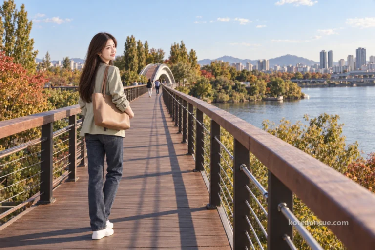
On that first evening at Banpo, the only bridge Rina looked at was the big one that crosses the whole river. The bridge in front of her now does not cross the river. It crosses the water between the park and the islet. She does not check which number it is; she just starts across. Rather than the numbers, she decides to remember one thing: in by one of the three, out by another.
Halfway over she stops and rests a hand on the railing. The water below looks calmer than the wide river beyond. In her notebook: “One bridge crossed. Two to go.”
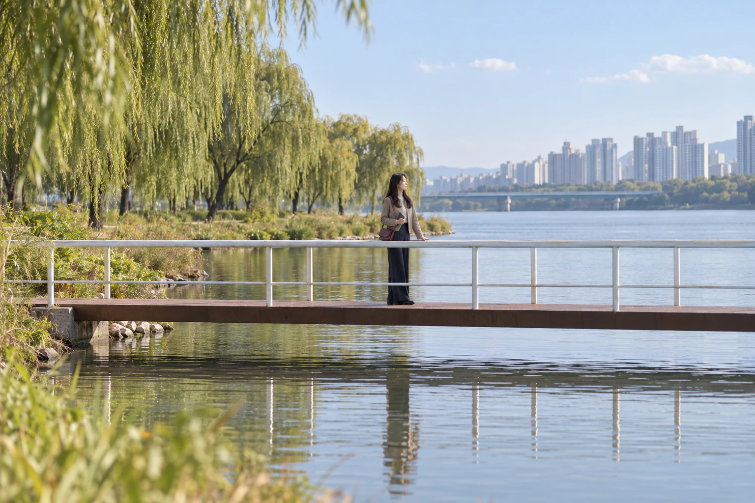
Underneath she copies one more word: “artificial.” When she first saw the islet on the map, Rina assumed it had always been in the river. One sentence on the website corrects her: 1982 to 1986. It is ground that was made on the river long before she was born.
Under the willows, on the slow side of the water
Seoul Hangang Parks website, facility page: Seoraeseom is a stopover for migratory birds and has a flower-growing area and a dedicated fishing facility. In spring its weeping willows and canola flowers grow together; nearby are reed beds and a path along the river embankment; and because the water is slow and relatively warm, it says, anglers like to come here.
The website calls Seoraeseom a stopover for migratory birds and says it has a flower-growing area and a dedicated fishing facility. In spring, it adds, the weeping willows and canola flowers grow together, and nearby there are reed beds and a path along the river embankment. Because the water is slow and relatively warm, it says, anglers like to come here. Find on a map
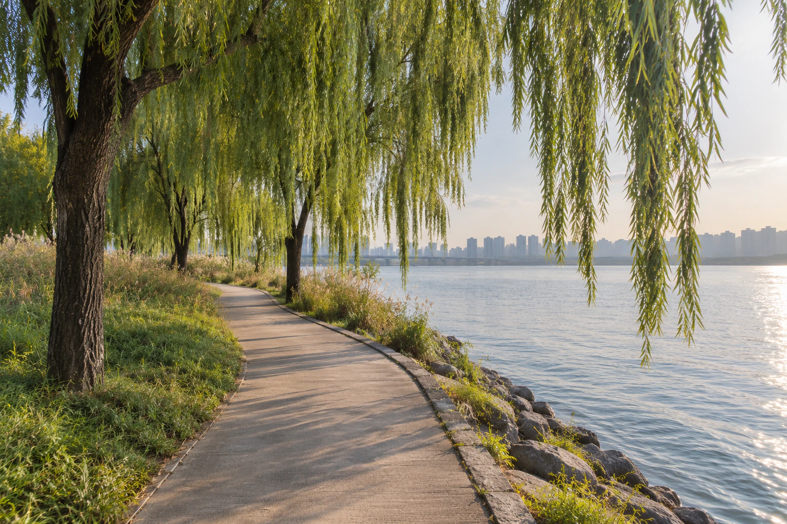
Rina chooses the path by the water rather than the inside of the islet. Where the weeping willows hang over it, the tips of the branches lean towards the river and sway just above the surface whenever the wind picks up. On her first evening the river was a backdrop for the fountain. Today it runs right beside her, at walking pace.
Here and there along the edge, people sit with fishing rods out over the water. This is the place the website describes as slow water. Rina does not speak to them and passes a little way off. In her notebook she puts only: “The slow side.”

Canola, buckwheat, and this year’s field
Seoul Hangang Parks website, park introduction: canola, buckwheat and other crops are planted on Seoraeseom by season, and when they flower the walk around the islet is a popular route; a canola flower festival is held every spring and a buckwheat flower festival every autumn.
The park’s introduction page says crops such as canola and buckwheat are planted on Seoraeseom by season, and that when they are in flower the walk around the islet is a popular route. It also says a canola flower festival is held every spring and a buckwheat flower festival every autumn. Find on a map
Rina read that and came in autumn. If you are going for the flowers, it is worth looking for that year’s news before you set out.
Rina decides she has come to see the islet, not the flowers. Flowers or no flowers, she can still go once round. She sits at the edge of the grass by the water, opens the notebook on her knee and writes what the website says on the left and what she sees today on the right. On the left: canola, buckwheat, weeping willows, three bridges. On the right: slow water, fishing rods, branch tips moving in the wind.

That the two columns do not quite match is, for Rina, a reason for a second visit. The flowers in the left-hand column she leaves for another season.
An islet whose year the river decides
A citizen reporter’s article on Seoul’s Media Hub, dated 28 October 2022, said Seoraeseom was one of the places hit hardest by that August’s heavy rain, and that in mid-October the buckwheat was still only sprouts and leaves. A photo caption in the same article describes Dongjak Bridge, Nodeulseom and Yeouido as seen from Seoraeseom.
A citizen reporter’s article on Seoul’s Media Hub in October 2022 said Seoraeseom was one of the places hit hardest by that August’s heavy rain. Even in mid-October, it said, the buckwheat was still only sprouts and leaves. Our own view is that an islet in the river may look different each autumn depending on the summer the river has had. Find on a map
When we checked shortly after midnight KST on 2 October 2026, the facility data on the Seoul Hangang Parks website listed Seoraeseom as “in operation”, open “all year”, and “free”. If it has rained hard, we suggest checking the park website’s news and the information centre first.
As the sun gets low, Rina turns downstream, towards Dongjak Bridge. A photo caption in the same article describes Dongjak Bridge, Nodeulseom and Yeouido as seen from Seoraeseom. How far the air lets you see today is up to the weather. Rina does not name the bridges one by one; she just watches the light lying in long lines across the water.

Before she leaves, Rina looks for a different bridge from the one she came in by. Crossing back towards the park, she opens her notebook. From her first visit to Banpo there was one line: the fountain. This time there is the path in brackets, two of the three bridges, and the slow side of the water.
Rina’s quiet suggestions are two. On a weekday afternoon, walk from Dongjak Station along the riverside “towards Seoraeseom”, as the brackets say, and go in by one bridge and out by another. And if you are going for the flowers, look for that year’s news first; after heavy rain, check on the islet first. For the evening fountain in the same park, Maya’s piece in this issue starts with the timetable.
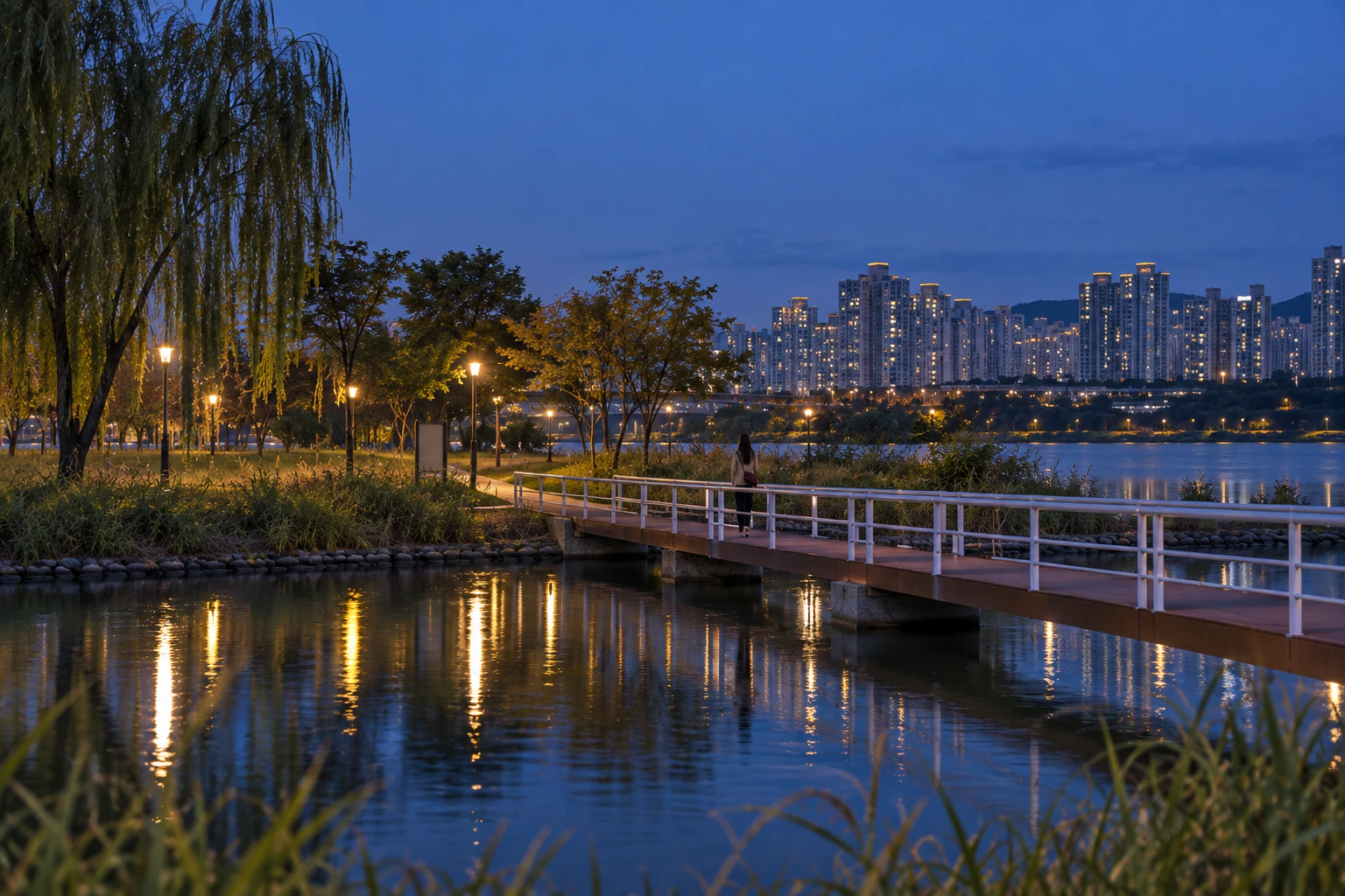
(※ This article includes staged images created with AI.)
Try it on your own afternoon
An editorial suggestion: walk from Dongjak Station along the river towards Seoraeseom, cross onto the islet by one bridge, follow the water’s edge past the willows and the slow water, and come back to the park by another bridge as the sun gets low.
A diagram of the order only · not to scale, orientation or the actual shape of the streets.
- From Dongjak Station Exits 1 and 2 to the riverside — The Seoul Hangang Parks website gives a riverside walk from Dongjak Station Exits 1 and 2 (towards Seoraeseom). From Gubanpo Station Exits 1 and 2 it says to use the Seoraeseom underpass. Find on a map
- Onto the islet by one bridge — The website says Seoraeseom is linked to Banpo Hangang Park by three bridges (Seorae Bridges 1, 2 and 3). Find on a map
- The water’s edge and the weeping willows — The website mentions reed beds and an embankment path near the islet, and weeping willows and canola in spring. Find on a map
- Out by another bridge as the sun gets low — Downstream is the direction of Dongjak Bridge. Find on a map
Getting there
Checked 2026.09.29
Seoul Hangang Parks website, “Directions to Banpo”: about 15 minutes on foot from Exits 8-1 and 8-2 of Express Bus Terminal Station (towards Banpo Bridge), about 15 minutes from Exit 1 of Sinbanpo Station via the Banpo underpass, or along the riverside from Exits 1 and 2 of Dongjak Station (towards Seoraeseom). From the direction of Express Bus Terminal Exits 6 and 8-1, it says to use the Jamsugyo steps or ramp.
Hours & fees
Checked 2026.10.01
Seoul Hangang Parks website facility data (checked shortly after midnight KST on 2 October 2026): Seoraeseom — status “in operation”, period of use “all year”, fee “free”, how to use “visit on site”. The Korea Tourism Organization’s listing for Banpo Seoraeseom gives it as always open, with no closing days.
Good to know
Checked 2026.09.29
Seoul Hangang Parks website, rules for Banpo: no smoking, no cooking, take your rubbish home (a fine of 100,000 won if you don’t), and no shouting or loud talking, among others.
Seoul Hangang Parks websiteChecked 2026.09.29
Banpo Information Centre, 40 Sinbanpo-ro 11-gil, Seocho-gu (115-5 Banpo-dong), office hours 09:00–18:00, tel. 02-3780-0541~4.
Background5
Checked 2026.10.01
Seoul Hangang Parks website, facility page: Seoraeseom is an artificial islet built between 1982 and 1986 during the Han River Comprehensive Development, linked to Banpo Hangang Park by three bridges (Seorae Bridges 1, 2 and 3). The park’s introduction page places it between Banpo Bridge and Dongjak Bridge.
Seoul Hangang Parks websiteChecked 2026.09.29
Banpo Hangang Park lies on the south bank between Hannam Bridge upstream and Dongjak Bridge downstream, centred on Banpo Bridge (Jamsugyo). It is 7.2 km long, with an area of 563,015 m².
Checked 2026.10.01
Seoul Hangang Parks website, facility page: Seoraeseom is a stopover for migratory birds and has a flower-growing area and a dedicated fishing facility. In spring its weeping willows and canola flowers grow together; nearby are reed beds and a path along the river embankment; and because the water is slow and relatively warm, it says, anglers like to come here.
Checked 2026.10.01
Seoul Hangang Parks website, park introduction: canola, buckwheat and other crops are planted on Seoraeseom by season, and when they flower the walk around the islet is a popular route; a canola flower festival is held every spring and a buckwheat flower festival every autumn.
Checked 2026.10.01
A citizen reporter’s article on Seoul’s Media Hub, dated 28 October 2022, said Seoraeseom was one of the places hit hardest by that August’s heavy rain, and that in mid-October the buckwheat was still only sprouts and leaves. A photo caption in the same article describes Dongjak Bridge, Nodeulseom and Yeouido as seen from Seoraeseom.
- When checked shortly after midnight KST on 2 October 2026, the facility data on the Seoul Hangang Parks website listed Seoraeseom as in operation, open all year and free. The Korea Tourism Organization lists it as always open with no closing days.
- The website mentions a canola flower festival in spring and a buckwheat flower festival in autumn.
- Park rules include no smoking, no cooking, take your rubbish home (fine of 100,000 won), and no shouting or loud talking. The Banpo Information Center (40 Sinbanpo-ro 11-gil, Seocho-gu) is staffed 09:00–18:00; telephone 02-3780-0541~4.
More from this area

The Hyundai Seoul pop-up guide: queues, floors and bag storage
Pop-ups at The Hyundai Seoul change location, entry and queue arrangements from event to event.
Seonyudo Park: one photo with a K-drama feel
Seonyudo Park is an island park on the Han River, built by reusing the buildings and structures of an old water treatment plant.