SEOUL · SEOCHON
You don’t need ID for the Seoul City Wall on Bugaksan: the Thursday Maya carried her passport up and moved her sunset to the daytime
A path you walk without ID, recommended winter hours of 09:00–17:00 with entry recommended by 15:00, the stairs from Changuimun Gate and the easier start at Waryong Park, and the new south-west trail opened on 17 October 2026
An old notice made her pack her passport, and the words “open 24 hours” made her aim for sunset. One of Maya’s two plans fell apart at the information post, the other on her notes the night before. A winter morning for someone who always steps back to take a photo, on stairs with nowhere to step back to.
How to get there
At about ten on the last Thursday morning of November, Maya is standing at the Changuimun information post, getting ready to hold out her passport with both hands. She checked it several times last night before tucking it into the front pocket of her bag. But the person in front of her, and the person in front of them, take nothing out and walk straight on towards the steps. The person at the post looks at Maya’s hands and smiles. “You can put that away. Just go on up.”
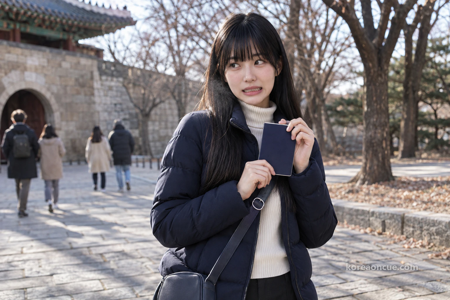
Her ears a little warm, Maya slides the passport back into her bag. Maya is 21, comes from Singapore, and wherever she goes she takes one step back and captures the whole scene first. Since the cold set in and she got out her thick coat, the photo she wants from Seoul has changed too. In the palace courtyard all she did was look up, so this time she wants to stand on a mountain and look down across the city. That is how she came to choose a wall path with a view over the palace and central Seoul.
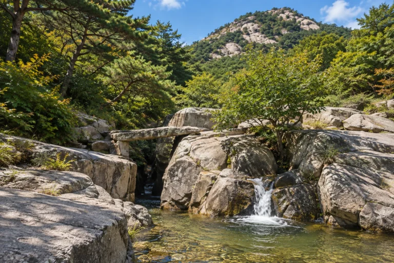
Today Maya is climbing the Seoul City Wall on Bugaksan. Information boards also call it Baegaksan, and it is the same mountain. At 342 m it is the highest of the four mountains around old Seoul, and the city wall was built starting from here. This piece follows Maya’s day to untangle the three things that stop first-timers most often. They are whether you need ID, how late you can start up, and where to begin.
The Cue — At a glance
On the Seoul City Wall at Bugaksan, you just walk up without ID. The path is open 24 hours but has no lights, so in winter the right plan is to set off in the morning and come down while the sun is up. Changuimun Gate is the easy one to reach, and Waryong Park is the easier one to walk from. If you want to look down on the palace from close by, take the new trail at the Dolphin Rest Area and double back up to the summit from the pine.
- Getting to Changuimun Gate: Gyeongbokgung Station (Line 3) Exit 3 → local bus 1020, 7022 or 7212 → Jahamun Gogae · Yun Dong-ju Literature Museum stop → 1–2 minutes on foot.
- Getting to Waryong Park: Anguk Station (Line 3) Exit 2 → village bus Jongno 02 → Seongdae Humun · Waryong Park stop → 5 minutes on foot.
- Fee and numbers: Free, with no limit on visitors.
- By car: There is no parking. Come by subway and bus.
- Before you set off: Use the toilet, and get water and snacks at the foot of the mountain.
- Rules on the mountain: No alcohol, no smoking, no carrying flammable materials, rest only at rest areas, don’t climb on the wall, and take photos only at designated spots.
Do you need ID for the Seoul City Wall on Bugaksan? Not since 5 April 2019
You don’t need ID to enter the Seoul City Wall on Bugaksan. The identity check was dropped on 5 April 2019. Foreign travellers are no different, so you won’t have to show a passport. From 1 January 2023, the opening and closing of the entrance gates stopped altogether. That is why the people ahead of Maya took nothing out and went straight to the steps.
Open in Kakao Map — Gyeongbokgung Station
Maya packed her passport because, while searching for Bugaksan the night before, she came across an old winter notice with no date on it. Under a line telling all adults to bring ID without fail, there was even a line saying the path closed every Monday. So she avoided Monday, picked Thursday and put her passport in her bag. When you run into an old post like that, look at the date before the wording. If she had had the table below that night, the front pocket of her bag would have been a good deal lighter.
| What old posts say | Today | Changed on |
|---|---|---|
| Be sure to bring ID | No ID needed | 5 April 2019 |
| Closed on Mondays | No closing day | 5 April 2019 |
| Winter entry starts at 10:00 | Recommended winter hours start at 09:00 | 5 April 2019 |
| The entrance gates open and close | The gates are no longer opened and closed | 1 January 2023 |
| Changuimun and Malbawi information posts closed | The 6 information posts have reopened | 9 March 2026 |
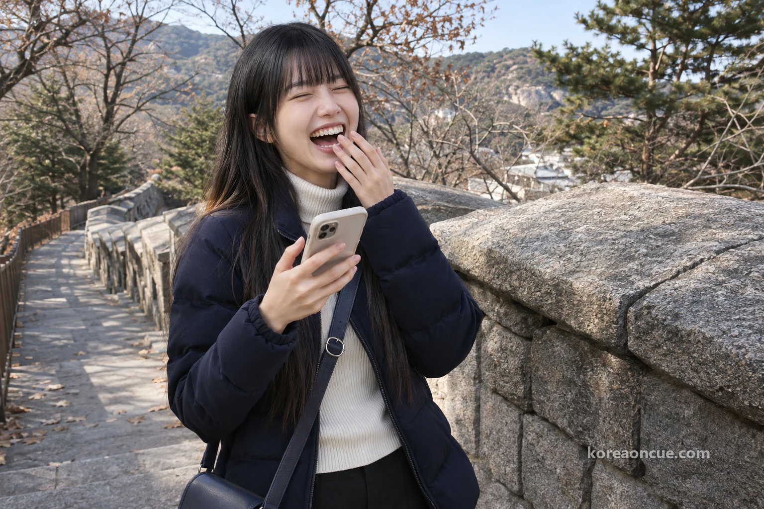
ID, the closing day and the winter start time all changed on the same day. If you find a post from before April 2019, those are the first three things to hold up against the table. At the foot of the steps, Maya sends Lulu a message. “I brought my passport up a mountain today.” The answer comes quickly. “Did you clear immigration?” Maya can’t help laughing to herself.
How late can you climb Bugaksan? In winter, start up by 15:00
In winter it’s best to start up Bugaksan by 15:00. The path itself is open 24 hours. But time on this mountain isn’t one line, it comes in three layers. There are the hours the path is open, the hours you’re advised to walk, and the hours the information posts work. Read all three as one line and your plans get tangled, just as Maya’s did.
| What | Winter (Nov–Feb) | Spring and autumn (Mar–Apr, Sep–Oct) | Summer (May–Aug) |
|---|---|---|---|
| Path open | 24 hours | 24 hours | 24 hours |
| Recommended walking hours | 09:00–17:00 | 07:00–18:00 | 07:00–19:00 |
| Recommended entry time | By 15:00 | By 16:00 | By 17:00 |
| Information posts | 09:00–18:00 | 09:00–18:00 | 09:00–18:00 |
In winter, 17:00 is when you’re advised to finish walking, and 15:00 is the time you’re advised to be on the mountain by. Neither is a time when a gate shuts. Nobody stands in your way at a set hour, so when you go in is up to the person walking. The only times the path closes are during bad weather. The information posts keep the same hours all year, so in winter there is someone there for an hour after the recommended time ends.
Maya’s first plan came from a single phrase: “24 hours”. If it was open 24 hours, she thought, she could reach Changuimun Gate at about half past three in the afternoon. She would climb slowly, take one wide shot of Seoul at sunset from Baegakmaru, and then come down. Her notes said “15:30 Changuimun — sunset — down”. Ever since walking Namsan at night, she had been all the more sure that the hour when the light goes is the best one.
Can you walk Bugaksan at night? With no lights, Maya moved to the daytime
You’re advised not to walk Bugaksan at night, because the trail has no lighting. “Open 24 hours” and “please avoid using it at night” don’t contradict each other. The first is about a path whose gates aren’t opened and closed, and the second is about a path with no lights. On this mountain, “open” and “a good idea to go” are two different things.
Maya held the two side by side just before going to sleep the night before. As she does when choosing photos, she put her notes and the trail rules next to each other on screen. On the left was “15:30”, and on the right were “entry by 15:00” and “no lighting”. After the sunset shot, the way down would have been stairs in the dark. On festival day Namsan had extra lights strung up, but the trail on Bugaksan is a path that simply goes dark.
Then she remembered what Lulu had said on Namsan: “When you step back, look at your feet first.” She couldn’t go looking for room to step back on stairs where she couldn’t see her feet. Maya struck through “15:30” and wrote “10:00” beside it. She was giving up the sunset shot and choosing instead a shot that reaches far while the sun is high. It felt less like giving up than like changing the composition from the same spot.
Even if a sunset photo is your goal, it’s best to switch to a morning start. Winter sun drops early, and an afternoon start soon gets tight. If you plan to walk all the way to Hyehwamun Gate, allow about 3 hours on foot for the 4.7 km from Changuimun Gate. Leave Changuimun Gate at 15:00 and those 3 hours alone take you to about 18:00, past the recommended 17:00. Only after doing this sum in the corner of her notes did Maya circle “10:00”.

Does Bugaksan have a closing day? No, and the information posts open every day too
The Seoul City Wall on Bugaksan has no closing day. The Monday closure ended on 5 April 2019, so Maya’s avoiding Monday was wasted effort. Weather is a separate matter, though. On days of heavy snow, heavy rain or typhoons you’re asked to stay away, and in bad weather the path can close. The trail has been closed for heavy snow before, so after a big snowfall it’s better to move to another day.
The information post where Maya held out her passport is one of six: Changuimun, Cheongundae, Gokjang, Sukjeongmun, Malbawi and Samcheong. All six closed in 2023 and reopened on 9 March 2026. The posts used to control entry as well, but now they only provide information. So Maya had held out her passport at a window with no use for passports. The person at the post had every reason to smile.
There’s no need to worry that the path will close now that Cheong Wa Dae is back in use. In March 2026 the Presidential Security Service decided to keep the mountain fully open 24 hours. In fact, on 17 October the same year the south-west path, the last one still shut, opened and joined the main trails into one. It is the end of a step-by-step opening for a mountain closed off after the 1·21 Incident of 1968. Thanks to that, Maya has one more path to choose from today.

Where do you start up Bugaksan? Changuimun Gate is easy to reach, Waryong Park is easier to walk
On a first visit, just pick either Changuimun Gate or Waryong Park. Changuimun Gate is the easiest to reach, with one bus ride. Waryong Park is the start recommended for anyone who wants a gentler walk. The real question isn’t which is closer but which set of stairs you’re ready for. Put the four starting points side by side and the choice gets easier.
| Start | How to get there | Good points | Drawbacks |
|---|---|---|---|
| Changuimun Gate | Gyeongbokgung Station Exit 3, bus 1020, 7022 or 7212, Jahamun Gogae · Yun Dong-ju Literature Museum, 1–2 minutes on foot | One bus ride away | Stairs all the way to Baegakmaru |
| Waryong Park | Anguk Station Exit 2, village bus Jongno 02, Seongdae Humun · Waryong Park, 5 minutes on foot | A somewhat easier walk | The path splits along the way |
| Samcheong Park | Gwanghwamun Station Exit 2, village bus Jongno 11, Samcheong-dong terminus, 10 minutes on foot | You pass the Excellent Viewpoint | 20 more minutes from the park to the wall path |
| Sukjeongmun Gate | Hansung Univ. Station Exit 6, bus 1111 or 2112, Myeongsu School, 20 minutes on foot | You can start with the north gate | A long walk after the bus |
If you’d like a somewhat easier walk, start from Waryong Park. Coming down to Changuimun Gate and looking round Buam-dong afterwards also makes a good route, though you’ll then be walking the Baegakmaru stairs downwards. If you like mountains, try starting at Changuimun Gate and coming down towards Samcheong-dong or Seongbuk-dong. Samcheong Park and Sukjeongmun Gate both mean a long walk after the bus, so choose them when you have something to do in that neighbourhood.
Maya chose Changuimun Gate. She knew there was an easier side, but she felt she needed the gate tower for the opening shot. Besides, the stretch from Changuimun Gate to Baegakmaru, with the wall built up a steep slope, is counted among the finest views on the entire Seoul City Wall. Her notes read “Start Changuimun, finish Waryong Park”. It meant getting the climbing done first and slipping out towards the city on the way down.
How to get to Changuimun Gate: one bus from Exit 3 of Gyeongbokgung Station
Changuimun Gate is one bus ride from Exit 3 of Gyeongbokgung Station on Line 3. Take whichever comes first of local buses 1020, 7022 and 7212, and get off at the Jahamun Gogae · Yun Dong-ju Literature Museum stop. A walk of 1–2 minutes from there brings you to the Changuimun information post. Maya sat at the back of the green bus rereading the first line of her notes, and as it climbed the pass she looked up at the mountain through the window without a word.
Take a second look at the stop name. Old guides give it with a different ending, but the “Jahamun Gogae” at the front is the same. Changuimun Gate is more often called Jahamun, so it’s enough to get used to the sight of “Jahamun” at the start of the name. Maya had written the name on the second line of her notes, and she kept a finger pressed on that line until it was time to get off.
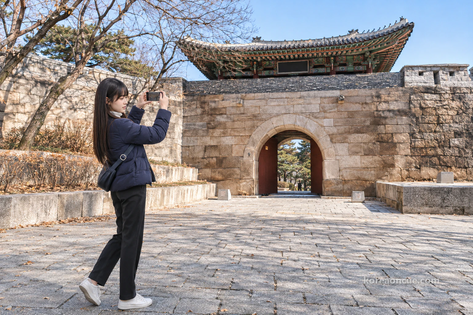
Changuimun Gate is Treasure No. 1881. It is the only one of the wall’s four small gates whose Joseon-era gate tower still stands, and the present tower was rebuilt in the 17th year of King Yeongjo’s reign (1741). Before heading for the information post, Maya took a few steps back in front of the gate. This was the spot she had decided on for the first photo of the day. When the gate, the wall and the bare trees all came into one frame, she gave a quiet nod.
What to prepare for Bugaksan in winter: toilet, water and gloves, all sorted at the bottom
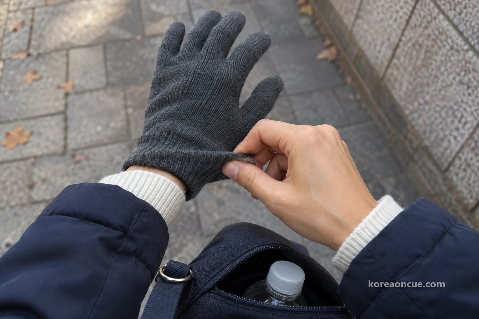
Use the toilet before you go up. Once you set off on this section, there are no toilets for about 2 hours. There are no convenience stores either, so get water and simple snacks such as sweets or chocolate at the foot of the mountain. Before boarding the bus at Gyeongbokgung Station, Maya bought a bottle of water and some chocolate and put them in the front pocket with her passport. A backpack just big enough for water, snacks and a spare layer will do.
In winter, wear gloves and a warm hat, and bring crampons if it snows. With so many steps and slopes, choose shoes with grip, and trainers or trekking shoes with a cushioned sole are fine. This time Maya had put the gloves Lulu gave her on the Namsan night walk at the top of her bag the night before. It still rankled a little that she hadn’t brought gloves that day and had to borrow Lulu’s spare ones.
From Changuimun Gate to Baegakmaru: stairs all the way, and you rest only at rest areas
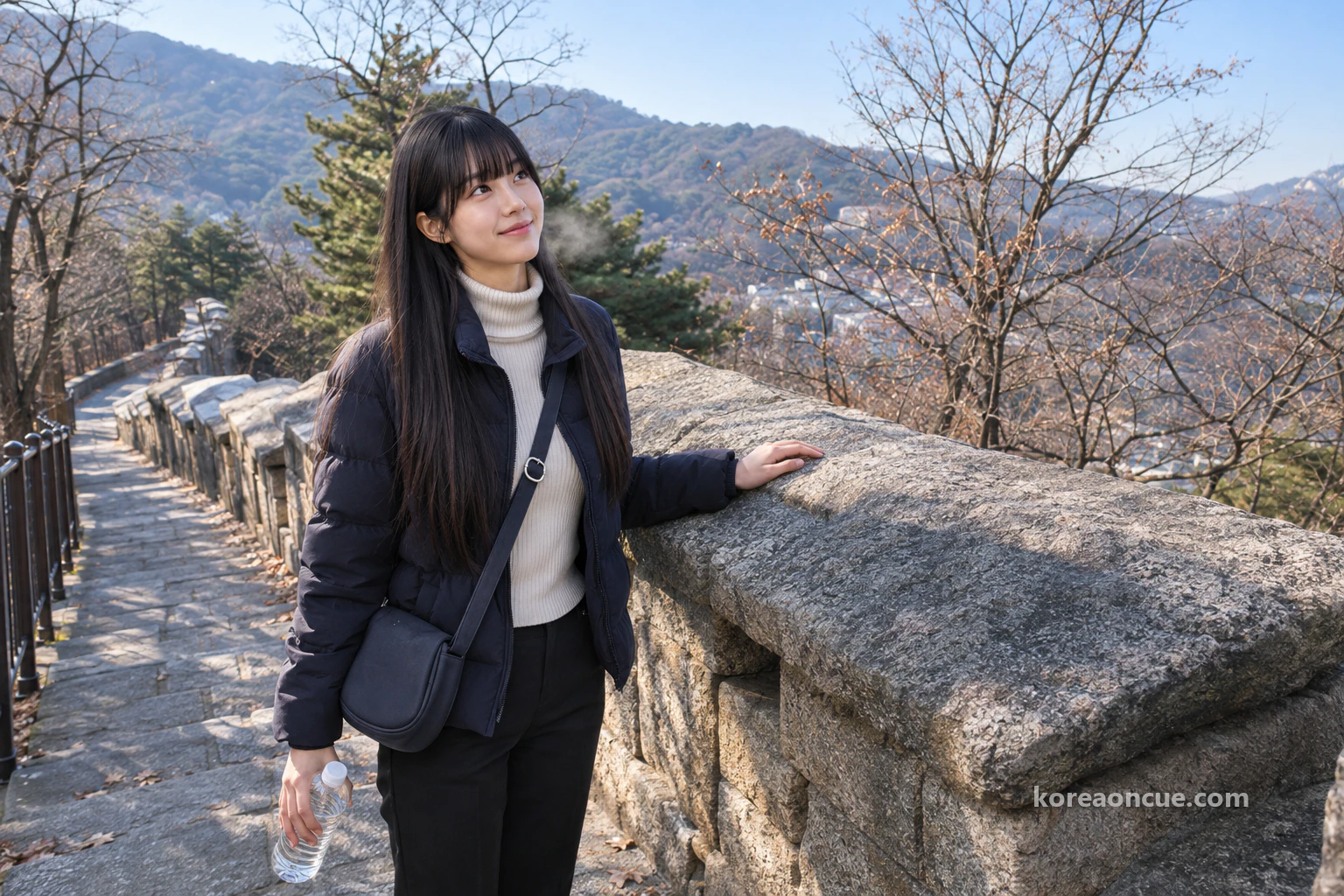
The path from Changuimun Gate to Baegakmaru is stairs from start to finish. The wall was built along a steep slope, and for safety the whole path was made into steps. That makes it a real workout, and in return you get some of the best scenery on the Seoul City Wall. On the first climb you learn right away that “easy to reach” only described the way to the entrance. Within a few minutes Maya has unzipped her coat.
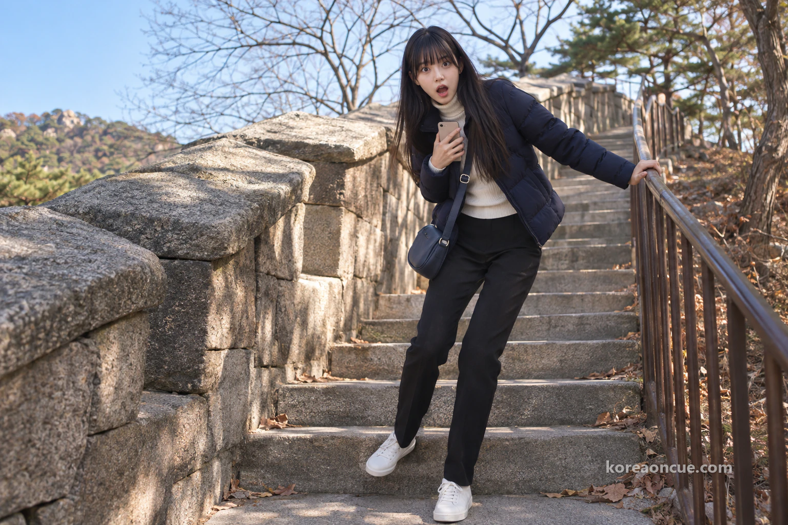
Here Maya’s habit runs straight into a wall. She turns to face downhill to capture the curve of the wall she has just passed, takes half a step back, and her heel catches on the step above. Behind her is the next stair, and on either side are the stone wall and the railing. When she senses someone climbing up stop short, she gives an apologetic look and quickly presses against the stone to clear the way. Someone who has to step back to shoot has come to a path with nowhere to step back to.
Because the trail is narrow, you’re asked to rest only at rest areas. The Dolphin Rest Area (돌고래쉼터) and the Baegak Rest Area are places for that. If you’re in a group, walk slowly in single file, and avoid standing in the middle of the stairs. Never climb on the wall or write on it. There are moments when you want a wider shot and the top of the stone wall catches your eye, and Maya shakes her head the instant the thought crosses her mind.
Can you take photos on Bugaksan? Only at designated spots
On Bugaksan you can take photos only at designated spots. It is a rule of its own in the trail guidelines. So this isn’t a place to raise your phone anywhere you like as you walk, the way you might on other mountains. If you’re coming for photos, put this one line at the very top of your day’s plan. Only after her heel caught on the step does Maya remember the line she read on screen the night before.
Maya, who takes photos for a living, puts her phone in her bag on the stairs and zips it shut. If she can’t tell whether a spot is allowed, she has decided, the phone stays in. Instead she makes a rectangle with her thumbs and forefingers, holds it up in front of her, and writes one line in her notes about what sits where inside it. It starts as a joke, but eyes that used to go to the screen first now go to the view first, and it turns out to be rather useful. At the top of her notes she writes “Frame one — wall from left to upper right”.
It’s easier on the mind to think of this not as a mountain where you can’t take photos but as one where the spots are set. Keep your phone away while you walk and you’ll also stop less often on the narrow stairs. Not holding up the people behind you is a bonus. On the Namsan night walk, if she wanted a photo she only had to move to the side of the path and stop. Here even where to stop is decided in advance, and Maya finds that rather amusing.

The path splits at the Dolphin Rest Area: the new south-west trail or the Baegakmaru stairs
At the Dolphin Rest Area you have to choose which view to see first. It is the first rest area on the way up from Changuimun Gate, and the new south-west trail opened on 17 October 2026 starts here. Keep climbing the stairs and you pass the Baegak Rest Area and reach Baegakmaru. Take the new trail and you go by the Manse Dongbang spring (만세동방) and come out at the 1·21 Incident Pine. The two paths meet again at the pine, but what you see is quite different.
| New south-west trail | Existing stair path | |
|---|---|---|
| Passes | Dolphin Rest Area, Manse Dongbang spring, 1·21 Incident Pine | Dolphin Rest Area, Baegak Rest Area, Baegakmaru, 1·21 Incident Pine |
| Views | Inwangsan, Namsan, Cheong Wa Dae, Gyeongbokgung Palace | Gyeongbokgung Palace, Sejong-ro, the 63 Building across the Han River |
| Stops | 4 viewing rest areas, a rock with a carved inscription | The marker stone at the highest point of the wall |
| Best for | People who want to look down on central Seoul up close | People who want to stand on the summit |
The easy thing to miss is that the new trail bypasses Baegakmaru. The pine stands on the way down from Baegakmaru to Cheongundae, so to see the summit you have to double back uphill from the pine. Maya sits down at one side of the rest area, gets her breath back and opens her notes. Gyeongbokgung Palace can be seen from either path, so what she is really choosing is less a path than an order. Even if it adds a little climbing, she decides to go round the four new rest areas first and pick up the summit later.
The new south-west trail on Bugaksan: Inwangsan and Gyeongbokgung Palace from 4 rest areas
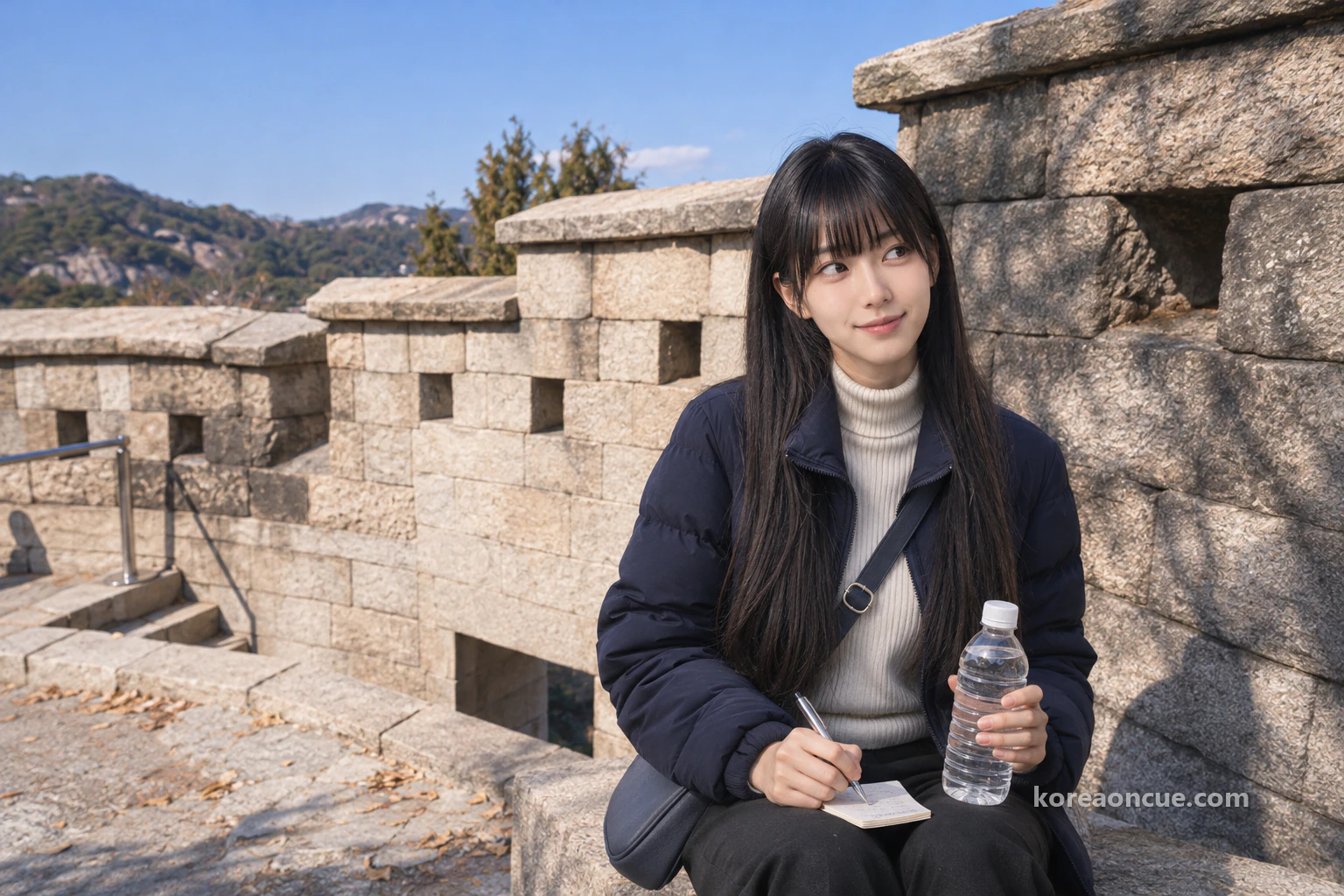
The new south-west trail is the one to walk for looking down on central Seoul. It is 1.32 km long and opened at 09:00 on 17 October 2026. It is the last section of Baegaksan, closed off since the 1·21 Incident of 1968. Four new rest areas with views have been built, each looking out a different way, so it would be a shame to see just one and turn back. Inwangsan, Namsan, Cheong Wa Dae and Gyeongbokgung Palace all lie below this trail.
Each time a rest area appears, Maya stops and raises her rectangle. At one, Inwangsan fills the frame, and at another, Namsan comes in. It is the same city, but every time she moves, the mountains and the palace change places. The rectangles in her notes have already grown to five. The moment she picks out the palace roofs in the distance, Maya realises she is looking from the other side at the sky she looked up to from the palace courtyard last time.
This is where moving to the morning pays off. With the sun high she can see her feet clearly, so even on a path she’s walking for the first time, she feels at ease whenever steps and slopes appear. At the Manse Dongbang spring there is a rock carved with words wishing the king a long life. Maya doesn’t touch the inscription, but she slows down for a moment in front of the rock. Walking alone, small things she would normally pass by catch her eye even outside the rectangle.
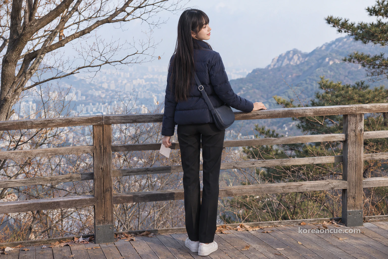
The 1·21 Incident Pine and Baegakmaru: 15 bullet marks, 342 m above sea level
At the end of the new trail you reach the 1·21 Incident Pine. The tree is about 200 years old and still bears 15 bullet marks. They are traces of the firefight of 21 January 1968. Maya doesn’t raise her rectangle here. This isn’t a place to pass with a smile, she thinks, so she looks at the tree for a long while and then quietly moves on.
Double back uphill from the pine and you reach Baegakmaru. It is the highest point of the wall, and a marker stone carved with the height of 342 m stands there. From here Gyeongbokgung Palace and Sejong-ro, and even the 63 Building across the Han River, come into view at a glance. This is the very spot where, until last night, Maya meant to shoot the sunset. Looking back, the stairs she would have had to go down are far longer than she’d imagined, and thinking of the “15:30” in her notes, she gives a little shrug.
A few steps from the marker stone, Maya lets out a long breath and raises her sixth rectangle of the day. With the sun high, Seoul isn’t as showy as it would be at sunset. Instead Gyeongbokgung Palace, Sejong-ro and everything across the Han River fit inside the rectangle with nothing left out. For Maya, whose job is to capture the whole at once, this is actually the right light, and for the first time she doesn’t regret the line she drew last night. Her notes get a short entry: “No sunset, everything visible.”

From Cheongundae to Sukjeongmun Gate and Malbawi: what to see on the way down
After Baegakmaru you go down via Cheongundae towards Sukjeongmun Gate. Along the way is Baegak Gokseong, a section where the wall curves outwards. It is open to the public and counted as the best place to see the mountains around the walled city. Since 1 November 2020 you can also walk the path on the outer side of the wall between Cheongundae and Gokjang. Look up at the wall from outside and you see its face plainly, stones of different sizes stacked layer upon layer.
On this stretch Maya raises her seventh rectangle. The ridges curving around Seoul won’t fit in a single frame, so for the first time she slides the rectangle sideways as she looks. With the climbing over, her steps feel lighter. Even so, on a descent the mind easily runs ahead of the feet, so she keeps her distance from the person in front and looks down at each step. She is grateful for Lulu’s gloves, which keep out the cold of the railing.
Sukjeongmun is the north gate of the Seoul City Wall. Of the wall’s surviving gates, it is the only one with the wall running on from both sides. The gate tower was rebuilt in 1976. Malbawi is the point where the slope suddenly steepens as you climb along the eastern ridge. So for anyone starting from Waryong Park, this is where the real climb begins.
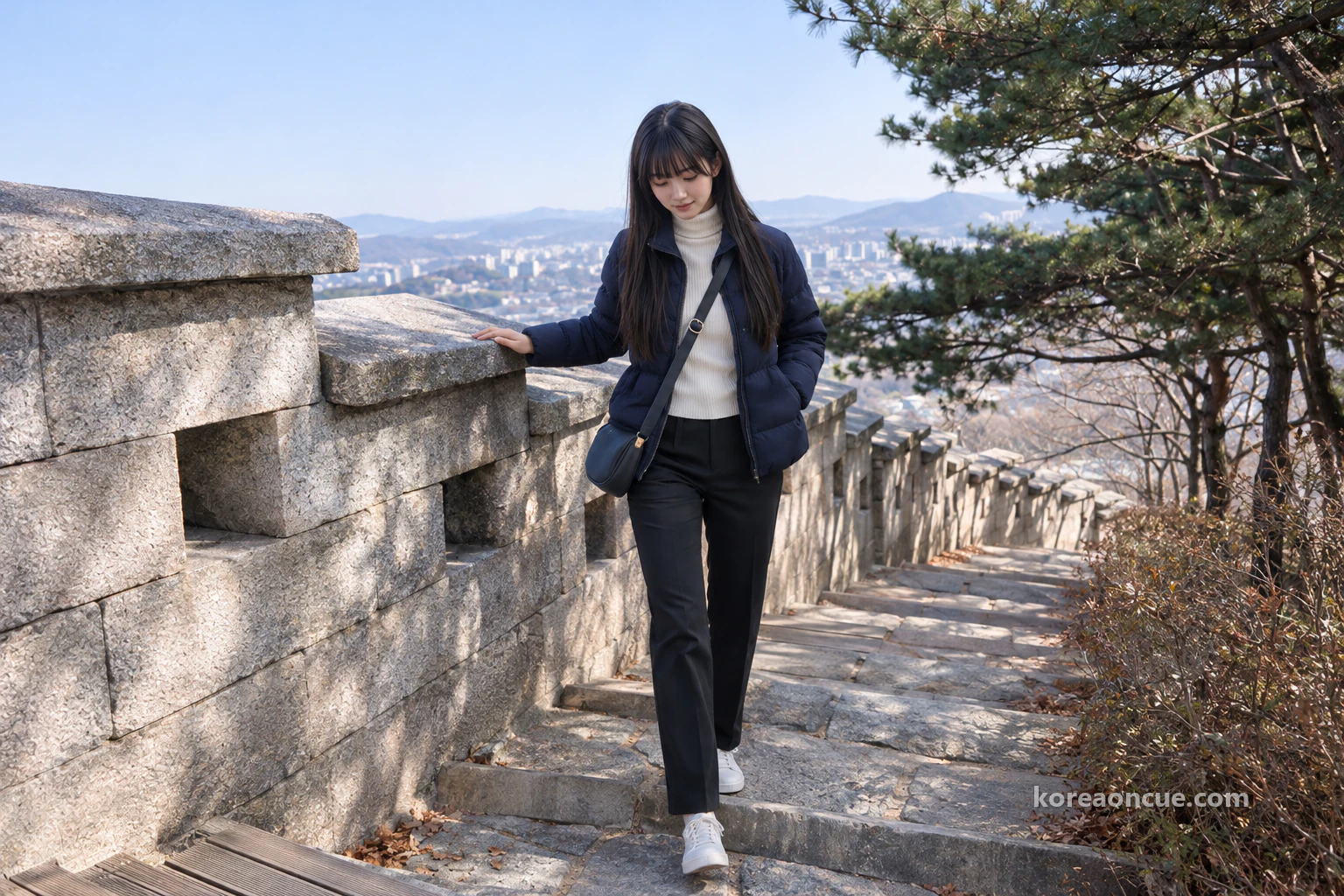
Going down from Malbawi to Waryong Park: miss the signpost and you’ll come out somewhere else
Past Malbawi, when you reach the Excellent Viewpoint (우수조망명소), look at the signpost first. This is the junction where paths split towards the Sukjeongmun information post, the Malbawi information post, Samcheong Park and Waryong Park. There’s more than one way down, so if you just keep walking you’ll come out somewhere you didn’t expect. It is an easy place for first-timers to go wrong, and after raising her last rectangle Maya nearly follows the person in front. A few steps on she stops, turns round and comes back to the signpost.
It is the first time all day that stepping back has been any use. She takes the Waryong Park direction and comes down to a park laid out along the wall. It is close to the back gate of Sungkyunkwan University, and the Seongdae Humun · Waryong Park stop, served by village bus Jongno 02, is 5 minutes away on foot. If she had stuck to yesterday’s plan she would only just be standing at Changuimun Gate about now, and the thought makes Maya feel rather pleased.
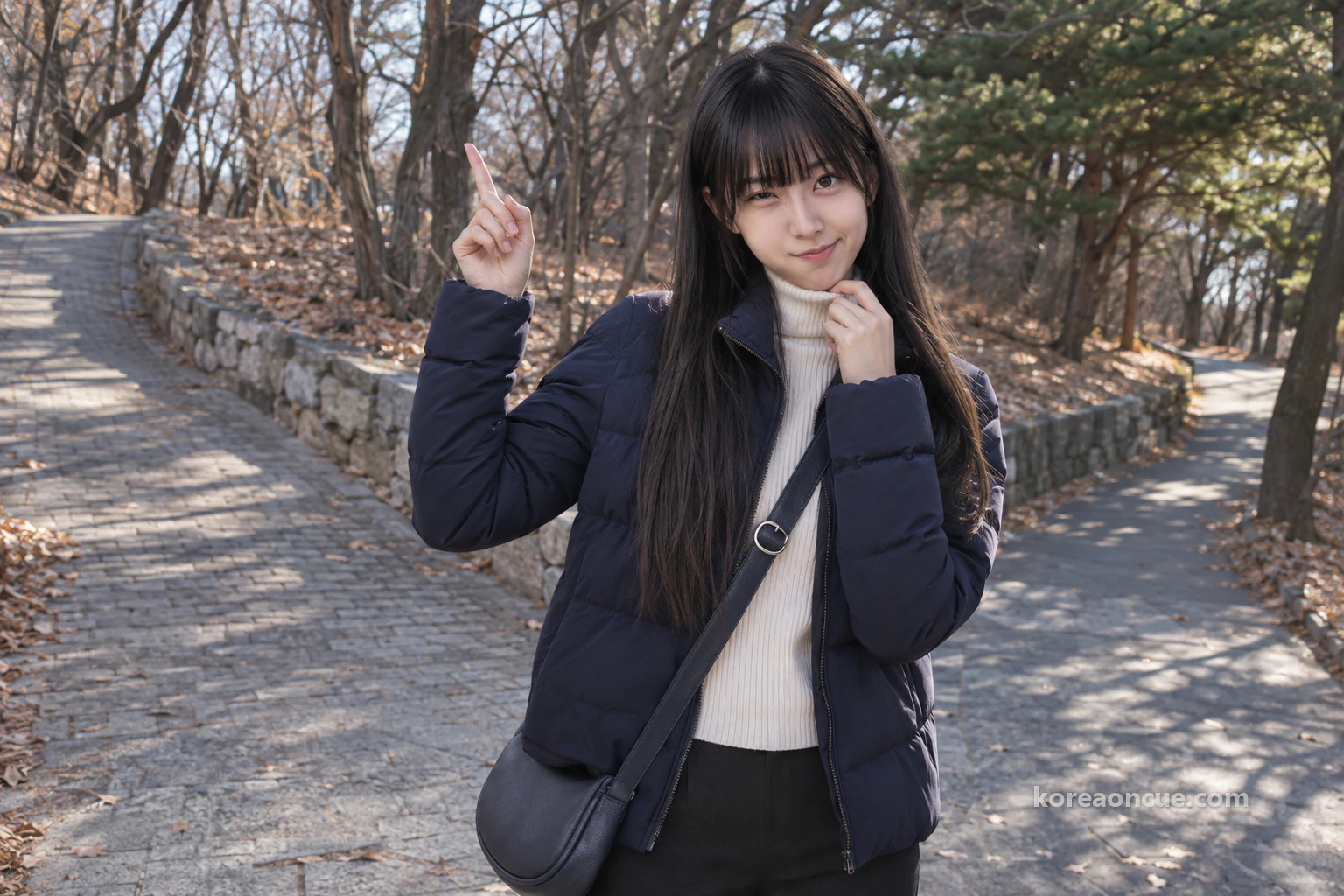
The Seoul City Wall on Bugaksan in a day: eight frames, two photos, passport in the bag
All Maya’s camera roll gains that day is two photos. One is from in front of Changuimun Gate, and one from a spot marked as allowed for photos. But her notes hold “eight frames”, and when she rereads them on a park bench, the path comes back more clearly than the photos do. She puts the eight lines of notes under the two photos, makes a set and names it “Baegak, morning, passport in the bag”. In one day the mountain has gained a second name, the time has moved from evening to morning, and the passport has gone back to the bag without ever being held out.
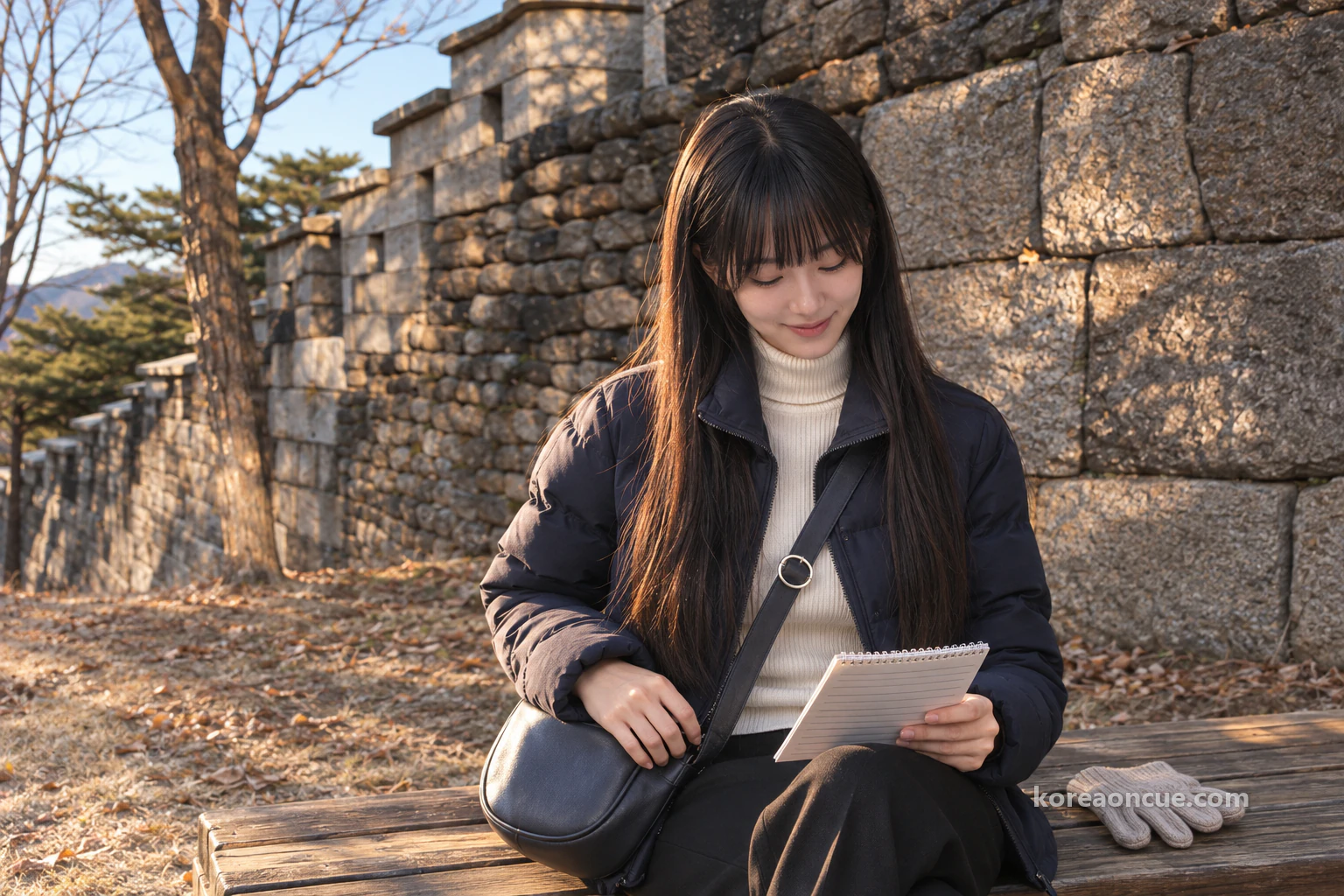
Waiting for the village bus, Maya opens the front pocket of her bag once more. The passport sits by the chocolate wrapper, looking as if nothing has happened all day. Next time someone asks her whether you need ID for Bugaksan, she will probably start with the immigration joke. And then she will add one thing. This mountain doesn’t shut its gates at a set hour, so decide when to climb less by the clock than by your feet on the way down.
Common Mistakes
Trusting an old post as it stands
Maya read an undated notice, avoided Monday and even brought her passport. When a post lists rules, look at its date first.
Setting off in the afternoon because of “24 hours”
Maya’s first note said “15:30 Changuimun”. If she hadn’t changed it before going to sleep, she would have been coming down dark stairs.
Assuming the path is easy because the gate is
Even Maya, one bus ride away, unzipped her coat on the first climb.
Thinking the new trail passes the summit as well
Maya doubled back from the pine. Allow for that extra climb in advance.
Just following the person in front at the Excellent Viewpoint
Maya turned back after a few steps too. Here, follow the signpost, not the people.
FAQ
Can I go up before 09:00 in winter?
The path is open. But the recommended hours start at 09:00 and the information posts open then too, so it’s better to set off at 09:00.
Is a can of beer at a rest area all right?
No. The whole trail is an alcohol-free zone.
Can I come down towards Samcheong Park instead of Waryong Park?
Yes. Take the path towards Samcheong Park at the Excellent Viewpoint. From the wall path to the park is about 20 minutes on foot.
Can I walk on from Waryong Park to Hyehwamun Gate?
The path continues to Hyehwamun Gate. But the whole stretch from Changuimun Gate to Hyehwamun Gate is rated five stars out of five for difficulty, so it’s a plan for a day when you set off early in the morning.
Recap — 30 seconds before you go
- You won’t need to show a passport, and in winter set off in the morning and come down while the sun is up.
- Changuimun Gate is the easy one to reach, and Waryong Park is the easier one to walk from.
- If you take the new trail at the Dolphin Rest Area, double back up to the summit from the pine.
Sources
- Korea Heritage Agency — Baegaksan City Wall visitor guide (Korean)Entrance gates no longer opened and closed from 1 January 2023 · no limit on visitors · free entry · 6 information postschecked 2026-11-06
- Korea Heritage Agency — Notes for visitors (Korean)Photos at designated spots only · no alcohol · no smoking or flammable materials · no parking · avoid heavy snow, heavy rain and typhoons · no lighting, so avoid night usechecked 2026-11-06
- Korea Heritage Agency — About Baegaksan (Korean)ID checks dropped and hours extended on 5 April 2019 · the outer path of the wall between Cheongundae and Gokjang opened on 1 November 2020checked 2026-11-06
- Seoul City Wall — Baegak section guide (Korean)24 hours, all year · recommended hours by season · Changuimun to Hyehwamun, 4.7 km, about 3 hours · stairs from Changuimun to Baegakmaru · Changuimun, Sukjeongmun, Malbawi, the 1·21 Incident Pine, the Baegakmaru marker stone, the Baegak curved bastion · the fork at the Excellent Viewpoint · routes to Waryong Park, Samcheong Park and Sukjeongmunchecked 2026-11-06
- Seoul City Wall — Section 1 guide, Changuimun to Hyehwamun (Korean)Entry times by season (winter 09:00–17:00, entry by 15:00) · where Waryong Park ischecked 2026-11-06
- Seoul City Wall news — Extended visiting hours for the Baegaksan City Wall (Korean)The changes of 5 April 2019: winter hours, ID checks dropped, the Monday closing abolishedchecked 2026-11-06
- Seoul City Wall — Notes for walking the wall (Korean)Gloves and a warm hat, crampons when it snows · no toilets for about 2 hours · no convenience shops · water and snacks, shoes and a backpack · don’t climb on the wall · walk in single file in a groupchecked 2026-11-06
- Korea.kr policy news — 1.32 km of Baegaksan’s south-west slope opens (Korean)Opened at 09:00 on 17 October 2026 · from the Dolphin Rest Area to Manse Dongbang spring and the 1·21 Incident Pine · 4 viewing rest areas · the rock with a carved inscriptionchecked 2026-11-06
- Seoul Economic Daily — Bugaksan stays open 24 hours after the return to Cheong Wa Dae (Korean)The Presidential Security Service’s decision to keep it fully open 24 hours · 6 information posts (Changuimun, Cheongundae, Gokjang, Sukjeongmun, Malbawi, Samcheong) open daily 09:00–18:00 · guidance only, no entry controlchecked 2026-11-06
A Seoul story told with our AI characters. Place details are checked against public sources; the photos are AI-made illustrative images. How we use AI