
SEOUL · SEOCHON
Rina left the “minutes to the top” box empty: Inwangsan from Exit 1 of Gyeongbokgung Station, along the city wall to Changuimun Gate
Where to start up Inwangsan and how long it takes — open 24 hours and free, toilets only at the bottom, the official 4.0 km and about 2 hours 30 minutes runs from the Site of Donuimun Gate to Changuimun Gate, and gloves and crampons in winter
Rina divides her notebook into boxes, and today one of them was empty: “minutes to the top”. The only figure she found was the time to cross the whole mountain, so she left the box blank and walked out of Exit 1 of Gyeongbokgung Station.
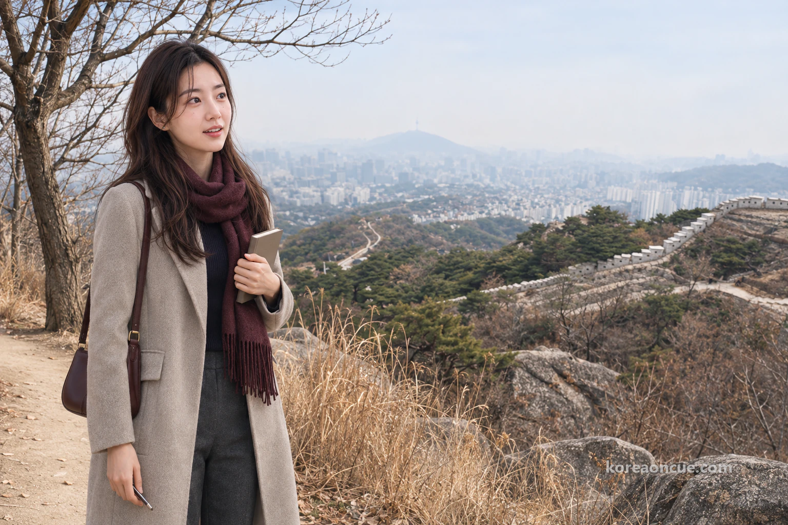
How to get there
On the morning of Sunday 6 December, Rina came up from Gyeongbokgung Station on Line 3 and opened her notebook in the cold wind. She is a 23-year-old traveller from Japan who splits every place into boxes, and today’s fresh page had four of them ruled: “Start”, “Toilet”, “Minutes to the top” and “Way down”. Only the third box was empty. She had searched for a long time at her lodgings the night before, but no number fitted it.
The number she did find was a single line: 4.0 km from the Site of Donuimun Gate to Changuimun Gate, about 2 hours 30 minutes. That was the time to cross the mountain and come down the far side, not the time from Sajik Park, where Rina would start, to the summit. So she decided not to force the box, and to note the time at each place she passed instead. The rocky mountain she had looked up at to the west while walking around Gyeongbokgung yesterday was today’s climb. Rina did her thick winter coat up to the top button and took her pencil in a gloved hand.
Inwangsan is a rocky mountain with the Seoul City Wall running along its ridge, so the way to the summit is also a walk along the wall. The path is one continuous line, but it has several ways in and several ways out, and the time it takes depends on where you begin. Rina went from Gyeongbokgung Station past Sajik Park, up along the wall to the summit, and down towards Changuimun Gate. Following her, this piece starts with where to go up, when it is open and what it costs, and what to do about toilets. After that come how to plan your time, what to pack in winter and which way to come down.
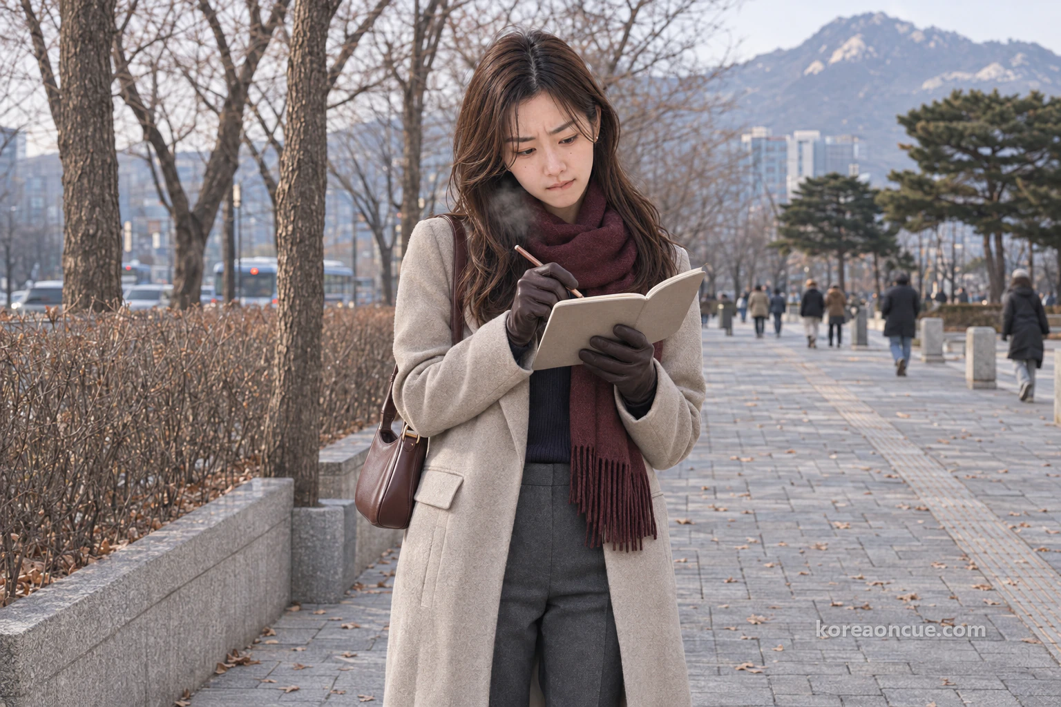
The Cue — At a glance
If the summit is what you are after, start from Exit 1 of Gyeongbokgung Station and climb past Sajik Park along the city wall. The official 2 hours 30 minutes is the time to cross the mountain from the Site of Donuimun Gate to Changuimun Gate, so decide which way you will come down before you ask how long the summit takes, and the rest of the day falls into place. In winter the path stays open, but the trail has plenty of rocky sections, so plan to be over the top while it is light.
- Station and exit: Gyeongbokgung Station (Line 3) Exit 1 → 10–15 minutes on foot → Sajik Park → city wall path by the Jongno Culture and Sports Centre.
- Toilets: There are none once you are on the mountain path. Go at the bottom before you set off.
- What to pack: Gloves and a warm hat in winter, crampons on days when it snows. Anything else you need, get at the bottom too.
- Enquiries: Inwangsan, 02-2148-2834~5.
Where do you start up Inwangsan? From Exit 1 of Gyeongbokgung Station towards Sajik Park
The way in Rina chose was Exit 1 of Gyeongbokgung Station on Line 3. From the exit to Sajik Park is 10–15 minutes on foot, and once you are past Sajik Park and the Jongno Culture and Sports Centre, you are on the path that follows the city wall. This is also the way most people take up Inwangsan. If you would rather walk less, take bus 7025, 171, 606 or 706 from the Exit 1 side, get off at the Sajikdan stop and walk just 5 minutes. Rina’s box was called “Start”, so she wanted to count from the exit itself and chose to walk.
Open in Kakao Map — Gyeongbokgung Station
As she came out of Exit 1, Rina pulled off her right glove and wrote her first time in the “Start” box. The moment the pencil touched the paper her fingertips began to sting, and she had to curl and uncurl her fingers before she could finish. Taking a glove off and putting it back on just to write down a single time was more bother than she had expected. After a moment’s thought, she decided to keep her gloves on for the boxes after this. She had no idea yet what that decision would lead to at the summit.
There are two more ways onto Inwangsan besides Gyeongbokgung Station. Rina wrote all three lines in her notebook, then drew a circle round the first one only. It was the station she had used for Gyeongbokgung yesterday, so the way was not new to her. If you are staying towards Seodaemun or Dongnimmun, pick the nearer line in the table below. Of the three, the place where the official 4.0 km section begins is the Site of Donuimun Gate.
| Station | Exit | First place you reach |
|---|---|---|
| Gyeongbokgung Station (Line 3) | 1 | 10–15 min on foot, Sajik Park |
| Seodaemun Station (Line 5) | 4 | 5 min on foot, Site of Donuimun Gate |
| Dongnimmun Station (Line 3) | 3-1 | 825 m, the address in the Inwangsan listing (20 Tongil-ro 18ga-gil, Jongno-gu) |
Beside the Dongnimmun Station line, Rina wrote two small words: “Not summit”. The 825 m is the distance to the address point in the Inwangsan listing, not to the summit. The Seodaemun Station line suits anyone who wants to start at the Site of Donuimun Gate and walk the whole 4.0 km from the beginning. If, like Rina, the summit is your aim, go up from the Sajik Park side and choose your way down separately before you reach the top. Under the table, Rina left one more line too: “End box later”.
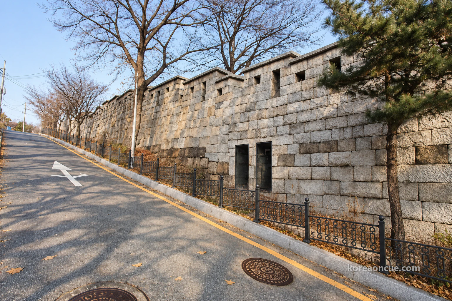
Past Sajik Park, by the Jongno Culture and Sports Centre, the grey-white city wall runs uphill along the roadside. The wall around here is one of the few places on the whole Seoul City Wall where both the inside and outside faces are visible. When Rina read that, she ruled two small boxes under her box: “Inside the wall” and “Outside the wall”. Whichever side you walk, you see a different face of the wall, and for someone who divides things into boxes, that was very welcome news.
This lower stretch of wall is well landscaped and well lit, and the wall is known to be lovely at night too. On a day when you only want to see the wall and not climb the mountain, this stretch alone would be enough. Next to the “Outside the wall” box, Rina wrote “Again at night” in small letters. Today was a day for crossing the mountain in daylight, so the lit-up wall went into a box for another evening. Only once she had left that line did Rina step onto the uphill path beside the wall.
When is Inwangsan open and what does it cost? 24 hours, every day, free
The Inwangsan section is open 24 hours every day, all year round, and it is free to walk. There is nowhere to buy a ticket and no opening time, so Rina’s “Start” box had no need for a “Last entry” line at all. For Rina, who wrote down last entry first at every palace, it was a box so simple it felt almost empty. In the space that was left, she wrote a different line. Instead of a closing time, it was a rule of her own: “Cross while it’s light”.
Yesterday Rina had set the palace’s last entry against the museum’s late opening and turned the order of her whole day upside down. Unlike yesterday, when one closing time decided the order of the boxes, today there was no such box at all. All she had to go by was the height of the sun and her own pace. With less reason to look at the clock, Rina thought she would probably be looking up at the sky more often today.
There are a few rules on the city wall path. Do not climb onto the wall, write on it or hammer nails into it, and walk in single file where the path is narrow. Rina copied these two lines in small writing at the very bottom of the “Start” box. With times and rules both in it, the first box on today’s page was already crowded before she had even reached the mountain. She ran her eye over it once, and only then tucked the pencil into her pocket.
Where are the toilets on Inwangsan? None once you are on the path, so go at the bottom
The first thing to take care of before you head up Inwangsan is a toilet stop. There are no toilets once you go onto the mountain, and on the Inwang section there are none for about 2 hours after you start. In winter you want a hot drink before you climb, which is all the more reason to get this step done first. That was why Rina’s second box was called “Toilet”.
When she first ruled the boxes, Rina had put “Toilet” at the very end. She thought she could find one on the way down. Then she read the line saying there are no toilets once you are on the mountain, rubbed the box out and moved it up to second place. For Rina, who believes the order of the boxes is the order of the day, moving this one box felt like rewriting the whole plan. The box she fixed at her desk the night before became the first rule she kept this morning.
Before she walked to Sajik Park, Rina took care of this box first and wrote “Done” in it. It was the first word she had written with her gloves on, so the strokes wobbled a little, but it was still easy to read. There is nowhere to buy things on the mountain path, so bring everything you need from the bottom. Rina opened her bag and checked once more: a spare pair of gloves, a warm hat and the folded crampons. With one box crossed off, her steps felt lighter.
How long does it take to reach the top of Inwangsan? The official time is 4.0 km from the Site of Donuimun Gate to Changuimun Gate, about 2 hours 30 minutes
The time in the official guide is for walking one whole section. It is 4.0 km from the Site of Donuimun Gate to Changuimun Gate, about 2 hours 30 minutes, and the difficulty is marked as five stars. That covers the whole route: up from the Site of Donuimun Gate along the wall, over the summit and down to Changuimun Gate on the far side. So for anyone starting from Sajik Park, or anyone going to the summit and back the same way, the figure does not fit as it stands. This was exactly why Rina had left her third box empty.
Rina copied the names of the places on this section into her notebook in order and looked for the point where she would join. If you go up from the Sajik Park side, you join the city wall path partway along this sequence. Rina underlined the Gokseong line and the summit line. One was a place she could not go into, and the other was today’s goal. With the sequence in hand, it became much easier to work out roughly where she was.
| Order | Place | Worth knowing |
|---|---|---|
| 1 | Site of Donuimun Gate | Start of the 4.0 km section, 5 min on foot from Seodaemun Station Exit 4 |
| 2 | Gyeonggyojang House, Woram Park, Hong Nanpa’s House, Inwangsan walking information rest area | Along the wall from the neighbourhood towards the mountain |
| 3 | Inwangsan Gokseong | Still a military site, so you cannot go in |
| 4 | Beombawi Rock, Inwangsan summit | From the summit you see Gyeongbokgung, Namsan and Bugaksan |
| 5 | Yun Dong-ju Hill, Changuimun Gate | End of the 4.0 km section, bus stop 2 min on foot from the hill |
The first box Rina filled when planning her time was the very last one. Whether you cross from the summit to Changuimun Gate or go back the way you came changes the length of the day. Rina chose to cross to Changuimun Gate and take a bus. Going up from the Sajik side, over the summit and down towards Buam-dong is counted as the most popular route on Inwangsan. Rina’s plan followed that route almost exactly.
Once she was on the city wall path, Rina stopped at every named place she passed and wrote down the time. This time she kept her gloves on. With thick gloves on, the pencil was harder to grip than she expected, and her numbers grew bigger and more crooked box by box. Still, her hands were warm, so stopping to write each time actually became easier. Watching the numbers pile up, Rina thought that once she stood on the summit, she could simply subtract them and fill in the third box.
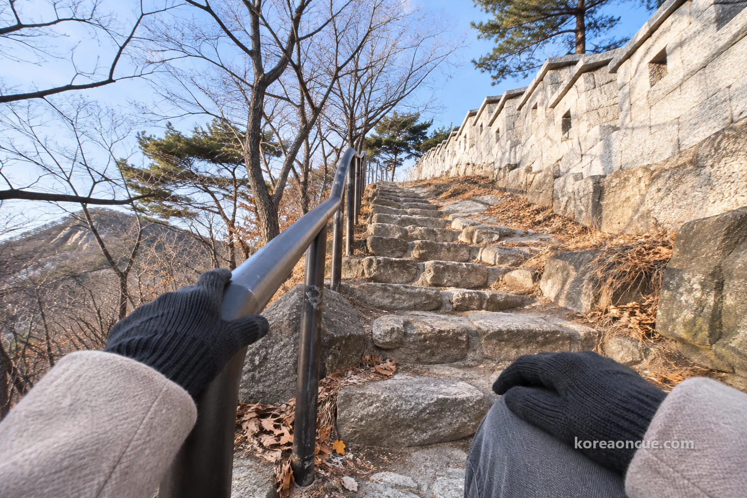
Along the wall to Beombawi Rock and the summit — a rocky climb, and you cannot go into the Gokseong
The higher the path along the wall climbs, the more rock shows through. Inwangsan is a rocky mountain where huge boulders lie bare, and many of its rocks have names, such as Chimabawi Rock, Seonbawi Rock and Gichabawi Rock. In Rina’s “Inside the wall” and “Outside the wall” boxes, rock names began to appear one by one in place of the wall. As the climb went on, she put the notebook in her coat pocket and walked with both hands free. On a path with this much rock, she felt safer with her hands free.
On the ridge is a place called Inwangsan Gokseong. It is still used as a military site, so the public cannot go in. Walking the wall path, you are tempted to drop in because it has a name, but leave it out of your plan from the start. On this ridge, just follow the set path in single file. In the Gokseong box, instead of a cross, Rina wrote “Not going in” in careful letters.
As she wrote those words, Rina remembered a line she had read before setting off. Closed to civilians for a long time from 1968, this mountain was fully opened in 2018. Right beside a path anyone can walk 24 hours a day, there was still a place no one can enter. Rina did not try to peer into it, and walked on in single file, keeping her distance from the person in front. It was around then that the wind on the ridge turned noticeably colder.
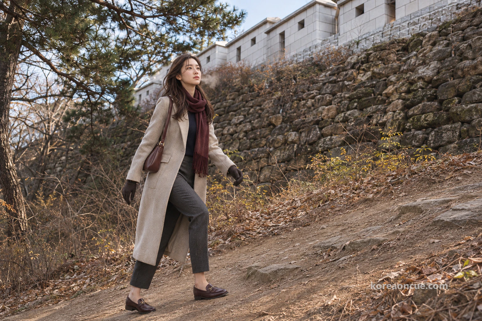
Past the Gokseong, once you reach Beombawi Rock, the summit is close. Near Beombawi Rock, Rina stopped for a moment and looked back the way she had come. The wall ran down along the ridge, and at its end she could see the city’s rooftops. She wrote the time once more with her gloves on, and pretended not to notice that her numbers were getting bigger and bigger. By now one page of the notebook was almost full of swollen numbers.
What can you see from the top of Inwangsan? Gyeongbokgung in the middle, out to Namsan and Bugaksan
From the summit you take in the inner city of Seoul at a glance, with Gyeongbokgung in the middle, ringed by Inwangsan, Namsan and Bugaksan. On a clear day you can see from Lotte World Tower all the way across to Bukhansan. Seeing the palace roofs she had walked among yesterday gathered small at her feet, Rina was quiet for a long while. The grounds that had taken so long to cross from inside looked no bigger than her palm from up here. Before she took out her notebook, she spent a while simply taking in the view.
Turning the view into boxes came after that. With a gloved finger, Rina pointed at each distant place in turn and gave it a name. The palace in the middle, Namsan beyond it, Bugaksan running on behind the palace: once everything had a name, the shape of Seoul below her fell into order in her head. Yesterday she had looked up from inside the palace, and today she was looking down on it from the mountain. This one scene, Rina decided, she would keep as a memory rather than in writing.
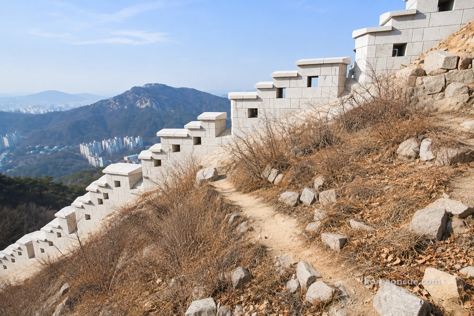
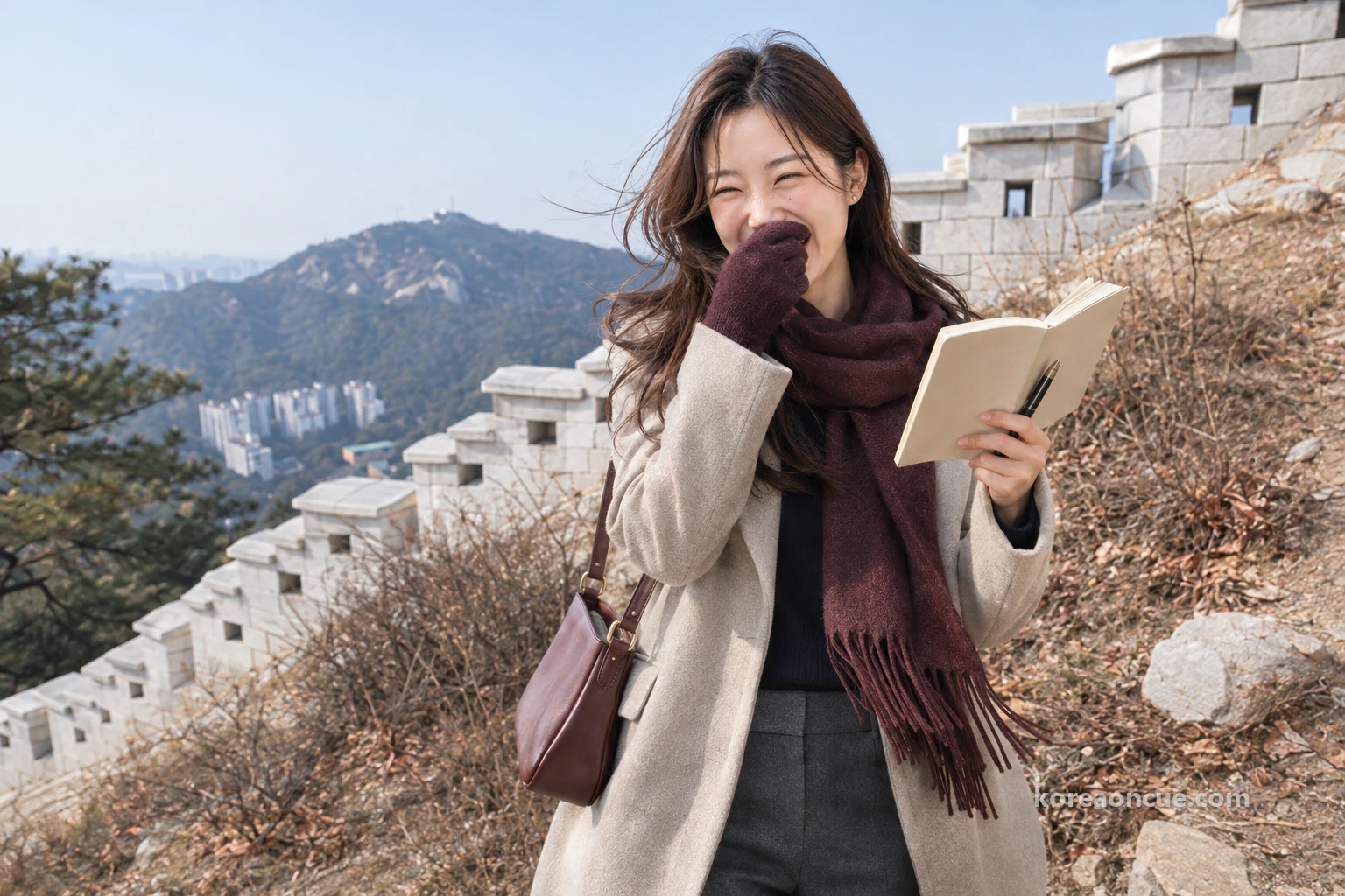
At last it was time to fill in the third box. Rina stood with her back to the wind, opened the notebook and read down the times she had written on the way up. But she could not read them. Every number written with gloves on had swollen up, and she simply could not tell whether it was a 1 or a 7, a 3 or an 8. Trying to decode her own handwriting on the summit, Rina burst out laughing.
“I can’t tell how many minutes it took to the top — my handwriting doesn’t remember,” Rina said to herself. Once the laughter had passed, she found she did not mind that the box was still empty. Even if she could have read the numbers, they would only have been the pace of one person, Rina, who started at Sajik Park and stopped at every rock. Had she handed them to a friend, that friend’s starting point and pace would have been different again. Rina left the third box empty and put her pencil back in her pocket.
Rina sent one photo to the group chat of four. It was not the view but a page of her notebook covered in swollen numbers. The message with it was a single line: “I’m at the top of Inwangsan. I wrote down the times and now I can’t read them.” The first to reply was Lulu, who introduces neighbourhoods in short videos. “Numbers you can’t read make the best subtitles.”
Rina read the reply and laughed once more. Lulu had already seen it as a scene, not the attempt to read the numbers but the moment the laugh broke out. Rina looked down for a moment at the gloved hand holding her phone. How she would handle these gloves for the next box had been settled, right there. She put her phone in her pocket and turned towards the way down.
Inwangsan in winter — the path stays open, with gloves, a warm hat and crampons when it snows
What changes in winter is not the path but what is in your bag. With plenty of rocky stretches along the trail, take extra care in winter, and it is best to go up with gloves and a warm hat. When it snows, you need crampons too. Rina had folded crampons in her bag as well, but on this day with no snow she never needed to take them out.
The truth was, Rina had spent a long time the night before deciding whether to pack the crampons. They are for when it snows, and putting them in would make her bag that much heavier. But being someone who divides things into boxes, once she had written the line “Crampons — when it snows”, leaving that line unfilled bothered her more. Rina put the folded crampons at the very bottom of her bag. All the way over the mountain their weight followed quietly at the bottom of the bag, but she thought it a fair price for peace of mind.
| What to pack | When |
|---|---|
| Gloves, warm hat | All winter |
| Crampons | When it snows |
| Anything else you need | Before you start, at the bottom |
Also build the short winter days into your plan. Even on a path that is open all day, walking a rocky trail in the dark calls for more care in winter. Rina picked a Sunday morning and wrote “Cross while it’s light” because she wanted to be over the mountain and at the stop on the Changuimun side while the sun was still up. Before heading down from the summit, Rina pulled her warm hat down over her ears. The wind on the ridge was clearly colder than outside Gyeongbokgung Station.
Coming down from Inwangsan to Changuimun Gate — Chimabawi Rock, wall stones from four reigns, and Yun Dong-ju Hill
From the summit, past Chimabawi Rock, you come to the fork for Tangchundaeseong. From here on, there are paths both inside and outside the wall. What follows is a fairly long stretch where stones laid under Taejo, Sejong, Sukjong and Sunjo, as well as in later times, stand together. On this stretch, for the first time that day, Rina slowed right down.
Where the path splits inside and outside the wall, Rina remembered the “Inside the wall” and “Outside the wall” boxes she had ruled that morning. The two boxes that began at the lower wall were still useful on the far side of the mountain. To take a good look at the wall stones, walk the path outside the wall. Rina took the outer path too, and went slowly down with the wall beside her. Each time she looked up, the colour and shape of the stones seemed a little different.
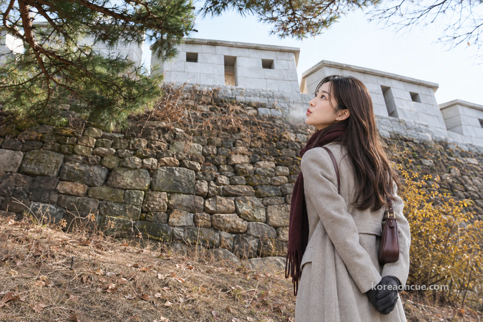
In front of the wall stones, Rina clasped her gloved hands behind her back. That was how she folded away the urge to touch them. Each stone differed a little in size and in how it had been dressed, but Rina’s eye could not tell which stone came from which king’s reign. So instead of splitting the box by period, she wrote five names side by side in a single box: “Taejo · Sejong · Sukjong · Sunjo · after”. Just knowing that five boxes overlapped in one wall made it her favourite line in the notebook that day.
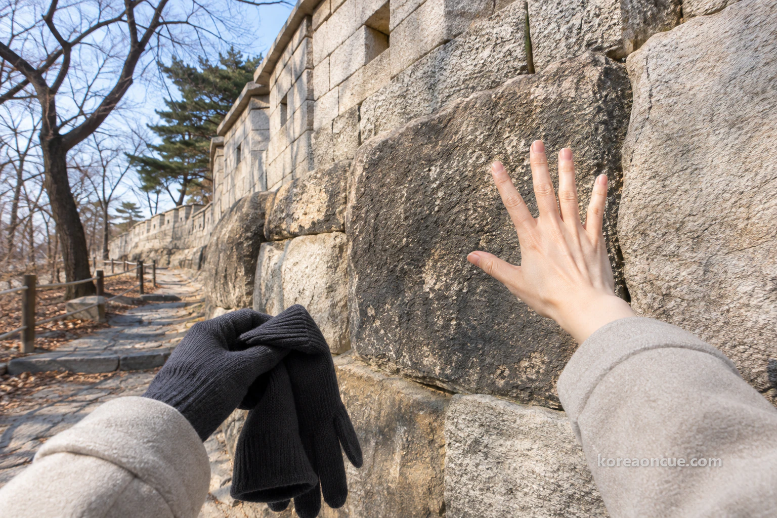
This time she took her glove off to write. After laughing on the summit, she already knew which way worked better. Write briefly before your fingertips start to sting, then put the glove straight back on: that was the order Rina had newly learnt on this mountain. The time she wrote under that line could be read clearly this time. Looking at it, Rina nodded to herself.
There are several ways down from the summit besides the Changuimun side. Which way you go decides which neighbourhood you finish the day in, so choose by where you are staying and what is left of your plans. Rina chose the Changuimun side because she wanted to find the answer to the third box, left empty that morning, at the far end of the 4.0 km section. She wanted to walk all the way to where that figure, the time to cross the mountain, actually ends.
| Way down | Where you come out |
|---|---|
| Towards Changuimun Gate | Yun Dong-ju Hill, Changuimun Gate |
| Towards Okin-dong | Suseongdong Valley |
| Towards Muak-dong | Guksadang Shrine of Inwangsan |
| Towards Sajik Neighbourhood Park | Sajikdan Altar, the side you came up |
Under this table, Rina set out three ways to plan the day in three lines. If you want to walk the 4.0 km from start to finish, go in at the Site of Donuimun Gate from Seodaemun Station Exit 4 and walk to Changuimun Gate, and the official 2 hours 30 minutes is exactly this route. If you want to see both the summit and the gate on the far side, go up from Sajik Park like Rina and cross to Changuimun Gate. If you only want to go to the summit and back, come down towards Sajik Neighbourhood Park and return to where you started.
The bus stop nearest Changuimun Gate — what Rina wrote in her third box
The path down along the wall passes Yun Dong-ju Hill and reaches Changuimun Gate. This is the end of the 4.0 km section. Two minutes on foot from Yun Dong-ju Hill is the Jahamun Gogae · Yun Dong-ju Hill stop, and if you take bus 7022 or 1020 from the Exit 3 side of Gyeongbokgung Station, this is where you get off. If a day comes when you want to climb the other way, from the Changuimun side, write this stop’s name down first. Rina too opened her notebook one last time in front of the stop.
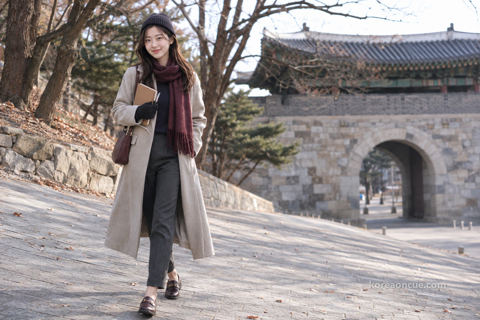
In the empty third box, Rina wrote two lines instead of a number. The first was “Site of Donuimun Gate → Changuimun Gate, 4.0 km, about 2 h 30 min — time to cross the mountain”. The second was “To the top: first, where you go up and which way you come down”. She also struck through the box’s name, “Minutes to the top”, and wrote a new one beside it: “From where, to where”. Looking down at the corrected box for a long while, Rina thought that of all the boxes she had ruled today, this one would be the most useful to whoever came next.
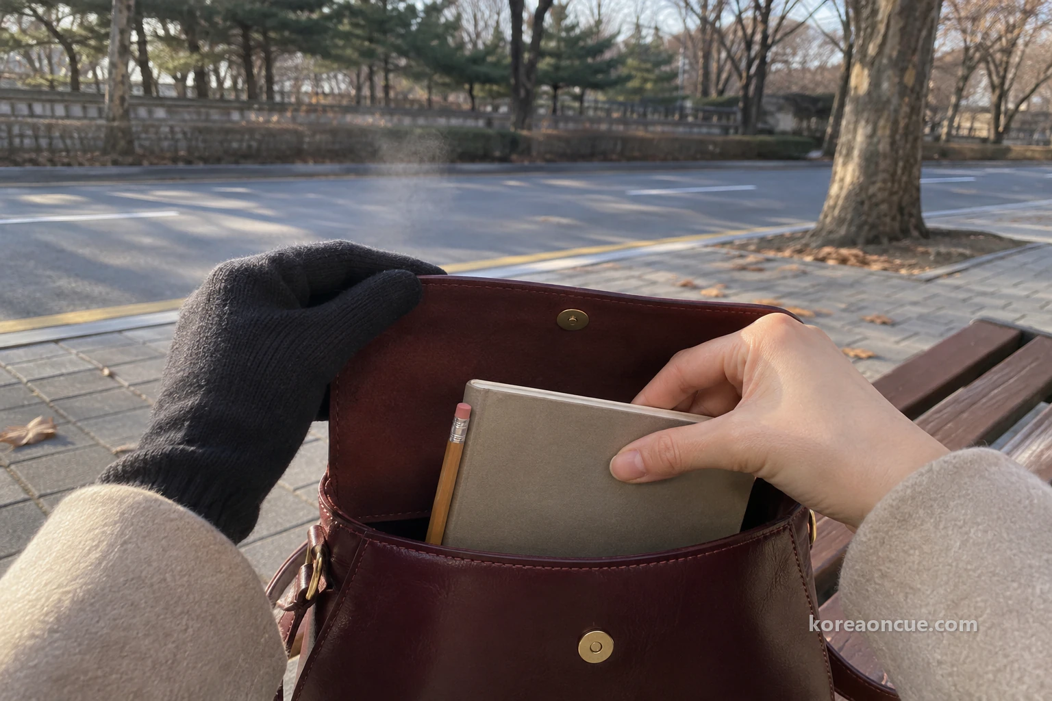
Seeing the new box name made that morning’s worry seem a little funny. In the end, how many minutes it takes to the top is a number that depends on who starts where. If she ever brought someone to this mountain, Rina would ask them where they would start and which way they would come down before asking about time. Those two questions were the answer her notebook kept today in place of a number.
While she waited for the bus, Rina leafed back through the day’s page from the beginning. The first time in the “Start” box, “Done” in the “Toilet” box, “Inside the wall” and “Outside the wall”, “Again at night”, “Not going in” in the Gokseong box and the five names she wrote in front of the wall stones went by one after another. Swollen numbers were tucked in between them, but now even those looked like part of the path she had walked today. A day that set out to fill boxes had ended up as a day of renaming one.
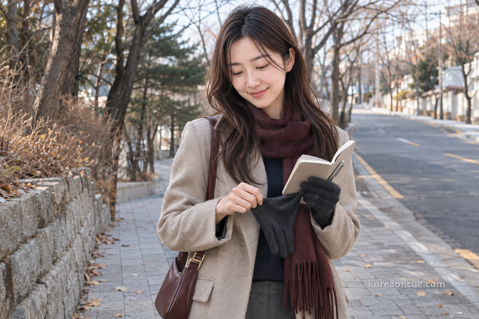
When the bus came, Rina closed her notebook and slipped it into her shoulder bag. The swollen numbers written with gloves on stayed unreadable to the end, but she decided not to tear out that page. Everything she had learnt on this mountain today was on it. As the wall slipped away outside the window, Rina thought of a name for a box to rule on the next page. It was “Gloves after writing”.
Common Mistakes
Reading 2 hours 30 minutes as the time to the summit
Rina nearly wrote this figure in her third box the night before, then stopped. It is the time to cross the mountain from the Site of Donuimun Gate to Changuimun Gate.
Writing times with your gloves on
Her hands stayed warm, but when she opened the notebook on the summit she could not tell a 1 from a 7. Write briefly and put the glove straight back on.
Climbing without deciding your way down
With the last box empty, the length of the day never settles. Rina only worked out her time after writing Changuimun Gate first.
Planning a stop at the Gokseong
It has a name, so it draws you in, but it is still a military site and you cannot go in.
Leaving the crampons behind on a snowy day
This is a mountain with many rocky sections. Rina packed her folded crampons even on a day with no snow.
FAQ
Can I reach the Site of Donuimun Gate from stations other than Seodaemun?
It is 12 minutes on foot from City Hall Station Exit 2 and 15 minutes on foot from Gwanghwamun Station (Line 5) Exit 7.
Can I bring a pet?
Visitors are asked not to bring pets.
Can I drink alcohol on the mountain?
No. Singing and making a commotion are not allowed either.
Is there anyone else I can phone?
There is the Seoul City Wall information line, 02-779-9870~1. It is closed on Mondays.
Recap — 30 seconds before you go
- If the summit is your aim, go from Exit 1 of Gyeongbokgung Station towards Sajik Park, and decide your way down before you set off.
- The official 2 hours 30 minutes is the time to cross the mountain from the Site of Donuimun Gate to Changuimun Gate.
- In winter, be over the top while it is light, and write notes with your glove off, briefly.
Sources
- Seoul City Wall — Inwangsan section (Korean)Site of Donuimun Gate to Changuimun Gate, 4.0 km, about 2 hours 30 minutes, five-star difficulty · Sajik Park 10 minutes on foot from Gyeongbokgung Station Exit 1 (15 minutes elsewhere on the same page) · Seodaemun Exit 4, City Hall Exit 2, Gwanghwamun Exit 7 · no toilets once on Inwangsan · no entry to Gokseong · paths inside and outside the wall, stones from different periods · ways down · stop to Yun Dong-ju Hill 2 minutes on foot · information line 02-779-9870~1, closed Mondayschecked 2026-11-10
- Seoul City Wall — Inwangsan Mountain TrailOpen 24 hours · many rocky sections, extra care in winter · English place nameschecked 2026-11-10
- Seoul City Wall — Tips for walking the wall (Korean)No toilets for about 2 hours after setting off on the Baegak and Inwang sections · no convenience stores · gloves and a warm hat in winter, crampons when it snows · no climbing on, writing on or nailing into the wall · walk in single filechecked 2026-11-10
- Visit Seoul — Inwangsan (Korean)Open 24 hours · every day · free · enquiries 02-2148-2834~5 · Dongnimmun Station Exit 3-1, 825 m, 20 Tongil-ro 18ga-gil, Jongno-gu · view of Namsan and Bugaksan around Gyeongbokgung from the summit · the most popular route goes up from the Sajik side and down to Buam-dongchecked 2026-11-10
- Visit Seoul — Inwangsan, a mountain path with all of Seoul in view (Korean)Fully opened in 2018 · from the summit, Lotte World Tower to Bukhansanchecked 2026-11-10
- Seoul Parks — Inwangsan Urban Nature Park (Korean)Most people walk from Gyeongbokgung Station through Sajik Park and start in front of the Jongno-gu culture and sports centre · park rules (no drinking, singing or noise; please avoid bringing pets)checked 2026-11-10
- Seoul City Wall — News (Korean)The notice board where closures of wall sections are postedchecked 2026-11-10
A Seoul story told with our AI characters. Place details are checked against public sources; the photos are AI-made illustrative images. How we use AI
More from this area
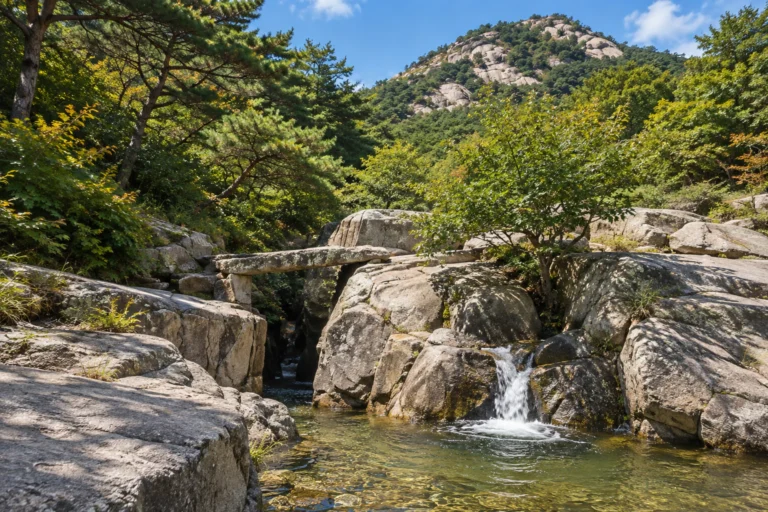
Suseongdong Valley: walking uphill from Tongin Market
Part two of “Seochon”.
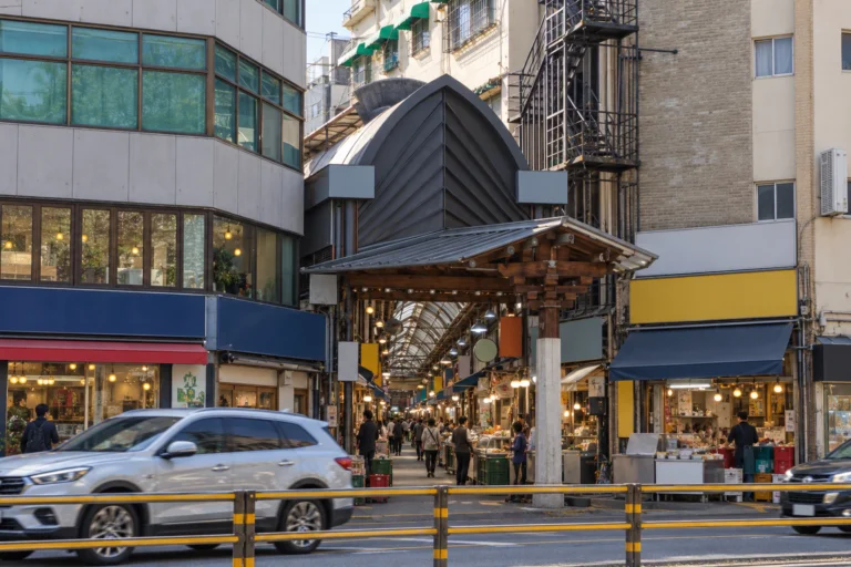
Tongin Market: filling a ten-coin lunchbox
Part one of “Seochon.” Tongin Market, in the middle of Seochon to the west of Gyeongbokgung Palace, grew out of a public market founded in 1941 and now has some 70 shops. Since 2012 its lunchbox café has let visitors swap cash for old-style coins and fill a tray with small portions from around the market. Maya saved a picture of that finished tray on a screen long ago. This time she walks the aisle and fills the spaces herself.