
SEOUL · GWANGHWAMUN
Seoul at 1/1500: Noah looks down on the whole city for the first time, one evening at the Seoul Museum of History
A seven-minute walk from Gwanghwamun Station Exit 7, free entry — open until 9 pm until 30 November (Thursdays until 6 pm), from the outdoor exhibition to Zones 1–4 of the 3rd-floor permanent exhibition and the Seoul City Model Gallery
Noah’s notebook holds plenty of maps of Seoul neighbourhoods, but he has never joined them together. That evening, he heads out of Gwanghwamun Station Exit 7 to see a model of the whole of Seoul on a single board.
How to get there
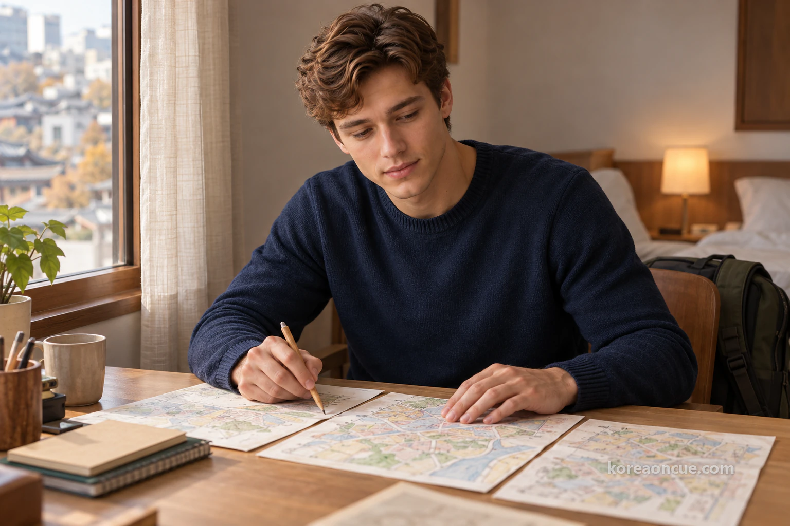
On a Tuesday afternoon in the third week of November, Noah opens his notebook on the desk at his accommodation and turns the maps one by one. Mangwon, Ttukseom, Jegi-dong, Magok — he has drawn quite a pile of neighbourhood maps in Seoul. Noah is twenty, from Canada, and he draws a map in his notebook of every neighbourhood he walks for the first time. These days he adds times to his maps too, and calls them “time maps”. But today, as he turns the pages, one odd thing catches his eye.
The maps do not join up. Noah has never once drawn where the edge of his Mangwon map meets Ttukseom. He knows each neighbourhood down to its alleys, but he has no picture of the whole city they make up. So today he decides to go and see a model of the whole of Seoul on a single board. It is the Seoul City Model Gallery, on the 3rd floor of the Seoul Museum of History.
The Seoul Museum of History, at 55 Saemunan-ro, Jongno-gu, is a museum about the history of Seoul. Admission is free, and you can walk round freely without booking. On top of that, it has extended evening opening until 30 November 2026. On Tuesdays, Wednesdays, Fridays, Saturdays and Sundays, it is open until 9 pm. A free museum in the middle of the city that you can enter in the evening suits travellers who have finished their day’s plans.
This piece follows Noah’s evening in order. First, he walks from Gwanghwamun Station Exit 7 on Line 5 to the museum, and sees the outdoor exhibition around the building before sunset. On the 1st floor, he sorts out his timings once. Then he walks the 3rd-floor permanent exhibition from Zone 1 to Zone 4, in order of period. Finally, in Zone 5, the Seoul City Model Gallery, he looks down on the whole of Seoul. Where he was and when are noted too, just as they are in Noah’s notebook.
The Cue
The Seoul Museum of History (55 Saemunan-ro, Jongno-gu) is a museum with free admission. From 15 September to 30 November 2026, it has extended evening opening: Tuesdays, Wednesdays, Fridays, Saturdays and Sundays 09:00–21:00 (last entry 20:30), and Thursdays 09:00–18:00 (last entry 17:30). It is closed every Monday and on 1 January, and open when a Monday is a public holiday. The 3rd floor has Zones 1–4 of the permanent exhibition, covering Seoul from the Joseon dynasty to the new millennium, and Zone 5, the Seoul City Model Gallery, with a model of Seoul at 1/1500 measuring 21.5 m by 14.5 m. It is 470 m, a seven-minute walk, from Gwanghwamun Station Exit 7 on Line 5.
- Subway: Gwanghwamun Station (Line 5) Exit 7 → 470 m, a seven-minute walk. Other options: Seodaemun Station (Line 5) Exit 4 (600 m, 8 min) and Gyeongbokgung Station (Line 3) Exit 7 (720 m, 10 min).
- Address and enquiries: 55 Saemunan-ro, Jongno-gu, Seoul · information desk 02-724-0274~6.
- Hours (until 30 November 2026): Tue, Wed, Fri, Sat, Sun 09:00–21:00, last entry 20:30. Thursday 09:00–18:00, last entry 17:30.
- Closed: every Monday and 1 January (open when a Monday is a public holiday). 30 November is a Monday, so the last day open until 9 pm is Sunday 29 November.
- Admission: free, self-guided.
- What to see: Zone 5, the Seoul City Model Gallery, on the 3rd floor (Seoul at 1/1500) · Zones 1–4 of the 3rd-floor permanent exhibition (Joseon → port opening and the Korean Empire → Japanese occupation → Seoul, capital of the Republic of Korea) · Streetcar No. 381 and the Suseon Jeondo fountain in the outdoor exhibition.
- Good to know: the 1st-floor café and museum shop open 09:00–18:00. You can leave bags free of charge at the storage room to the right in front of the main entrance.
When to go: until 9 pm Tuesday, Wednesday and Friday to Sunday, until 6 pm on Thursday
To go in the evening, choose your day first. Only Thursday closes at 6 pm. At first, Noah also wrote “Thursday evening” in his notebook, but when he reread the visitor information before setting out, Thursday had different hours. On Tuesdays, Wednesdays, Fridays, Saturdays and Sundays, the museum opens from 9 am to 9 pm, with last entry at 8:30 pm. On Thursdays, it opens from 9 am to 6 pm, with last entry at 5:30 pm.
Open in Kakao Map — Gwanghwamun Station
Noah strikes through “Thu” and writes “Tue” beside it. On Mondays and Thursdays, the museum does not open in the evening because of collection care and facility checks. It closes every Monday and on 1 January, but when a Monday is a public holiday it stays open. The 9 pm opening runs from 15 September to 30 November 2026. But 30 November is a Monday, so the last evening you can go is Sunday 29 November.
In the evening, the 3rd-floor permanent exhibition, the Seoul City Model Gallery and the 1st-floor special exhibition halls are open. That means both 3rd-floor spaces this piece follows stay open into the evening. Noah sorts the times into three lines on the first page of his notebook: “21:00 closed”, “20:30 last entry” and “Thu 18:00”. Unlike his earlier maps, chased by 4 pm and 5 pm closing times, today’s numbers look quite generous.
Which exit to use: Gwanghwamun Station Exit 7 on Line 5, a seven-minute walk
By subway, come out of Exit 7 at Gwanghwamun Station on Line 5. Of the five subway routes the museum gives, this is the shortest: 470 m from the exit to the museum, a seven-minute walk. Before setting out, Noah writes all five routes in his notebook to compare them. Seodaemun Station Exit 4 on Line 5 is 600 m, 8 minutes, and Gyeongbokgung Station Exit 7 on Line 3 is 720 m, 10 minutes. City Hall Station Exits 3, 1 and 2 on Line 1 are 850 m, 15 minutes, and City Hall Station Exit 12 on Line 2 is 980 m, 16 minutes.
Noah draws the five lines so they meet at one point, the museum. At once he can see that the exit you choose depends on the line you take. On Line 5, Gwanghwamun or Seodaemun is easiest, on Line 3 it is Gyeongbokgung, and on Line 1 or 2 you walk a little further from City Hall Station. Line 5 is close to his accommodation, so Noah draws the thickest line from Gwanghwamun Station Exit 7. He leaves the other four as thin lines, for days when he comes from another neighbourhood.
By bus, get off at a stop with the museum in its name. Trunk buses such as 160, 260, 270, 470, 600 and 702A stop at the “Seoul Museum of History · Gyeonghuigung Palace (central)” stop. Buses such as 101, 470, 601 and 704 stop at the “Seoul Museum of History, Gyeonggyojang, Kangbuk Samsung Hospital” stop. Both stops have the museum in their names, so they are easy to find in a map app. Noah notes the bus routes as just two small squares in the corner of his map.
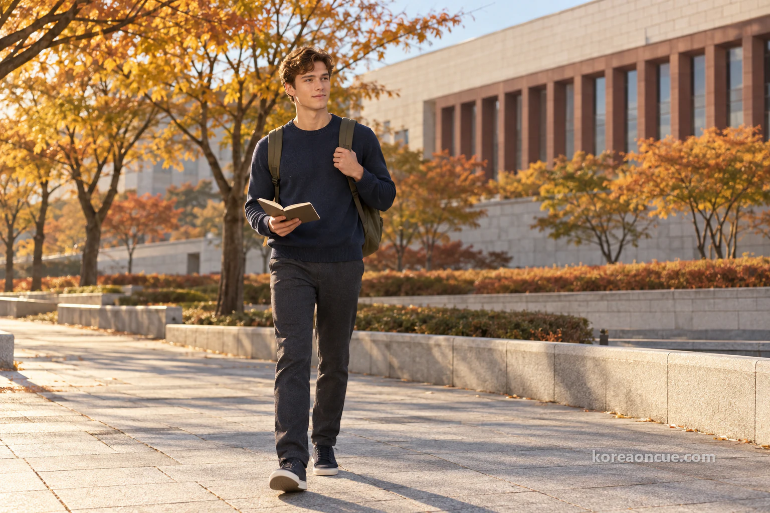
At half past four, Noah comes out of Gwanghwamun Station Exit 7. He puts “Seoul Museum of History” into his phone map, and writes the start time in his notebook beside the exit. On a first visit, it helps to put the address, “55 Saemunan-ro”, into your map before you leave the exit. As he walks, Noah marks a short tick on his seven-minute line for every minute. By the time the museum building comes into view, the ticks have almost reached seven.

What to see before sunset: the outdoor exhibition around the building, Streetcar No. 381 and parts of the dismantled Gwanghwamun gate
If you go in the evening, see the outdoor exhibition before you go inside. November days are short, and it gets dark outside quickly. The outdoor exhibition is a set of numbered exhibits around the building, and the site plan numbers them from ① to ⑲. There is no separate charge, so it is easy to do one lap before heading up to the 3rd floor. Noah also decides to follow the numbers and circle the building first.
The first thing to stop Noah is Streetcar No. 381. It was built in the 1930s by Nippon Sharyo, and it ran through central Seoul for about 38 years, until November 1968. It was moved to this spot in December 2007 and became registered heritage on 24 August 2010. Noah wonders for a long time where its old route would be today. After 38 years on the same city’s streets, the Seoul this streetcar knew was far bigger than the one in Noah’s notebook.
In the corner of his notebook, Noah draws the streetcar as a small rectangle and writes “to 11.1968” beside it. For someone who writes times on streets, the date a service stopped is a number worth keeping on the map too. On Noah’s maps, times were usually opening and closing hours, but today, for the first time, the date a route ended goes in. That one number makes the page look a little different. Noah tucks his pencil behind his ear and moves on to the next exhibit.

Next, Noah looks for the main members of the dismantled Gwanghwamun gate. Members are the pieces of material a building is made of. In 1968, Gwanghwamun’s stone base was repaired, and the pavilion on top of the gate was rebuilt in concrete. That concrete pavilion was taken down in December 2006, and the museum conserved some of the pieces and displays them here. To Noah, it feels strange that these are pieces of the gate that gave its name to the station he came from today.
There are also members from the demolition of the Japanese Government-General building. Demolition was completed in 1996, and the museum received the members in February 2012 and displays them here. The Jongru foundation stone was found during subway construction in 1972. It is a foundation stone from the Jongru, the bell pavilion that stood at the Jongno crossroads in the early Joseon period. Remains of the Jongno market arcades, traces of old shop buildings found around Jongno 1-ga in 2004, are also here. Hearing that subway work uncovered old stones, Noah briefly thinks of the Line 5 train he rode today.
Noah writes down what these outdoor exhibits have in common. All of them were moved here from somewhere else. They came out of the ground, or they are pieces left over when buildings came down. On Noah’s maps, they would be like lines rubbed out with an eraser that still show faintly. Beside them, he writes “things moved here” in small letters, and decides to find their original periods on the 3rd floor.
The Suseon Jeondo fountain: an old map of Seoul, enlarged outdoors
If you like maps, make sure to find the Suseon Jeondo fountain. It is a large enlargement of a middle edition of “Suseon Jeondo”, an old map in the museum’s collection. “Suseon” is another old name for Seoul. The first “Suseon Jeondo” was made by Kim Jeong-ho, who surveyed it himself between 1824 and 1834. For Noah, who draws maps, it is the most welcome spot of everything outside today.
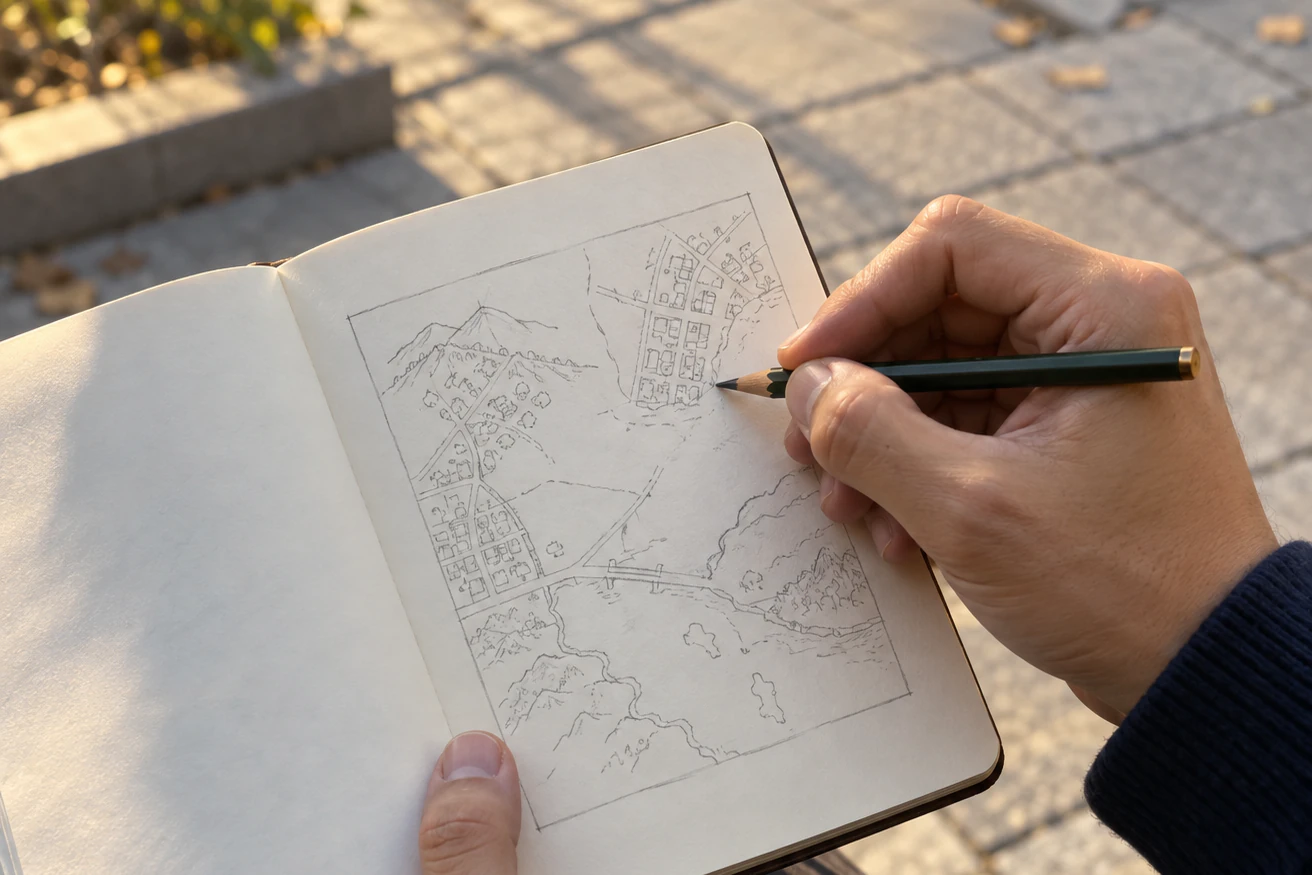
Noah opens his own notebook in front of the huge old map. He is amazed that about 200 years ago, someone measured and drew Seoul to fit it on one sheet. Noah’s maps have always covered one neighbourhood at a time, but this map holds Seoul on a single sheet. He first draws one large border on a blank page of his notebook. The model on the 3rd floor feels like the next page of this map, and he plans to fill in that border there.
The outdoor exhibition has objects from other periods too. There are name pillars from the Ahyeon, Hongje and Seodaemun overpasses, the posts that carried the bridges’ names. There is the 88 Seoul Olympics ceremonial bus, made specially for ceremonies at the 24th Seoul Olympics, and a five-storey stone pagoda from the Goryeo dynasty. Personal mobility devices such as bicycles, kick scooters and inline skates are not allowed in the outdoor exhibition area. Follow the numbers and walk round slowly.
Just after five, the light in the sky drops noticeably. Noah has not seen every number outside, but he does not mind. Having seen the outdoor exhibits from mixed periods first, he has a clearer reason to walk the 3rd floor in order of period. The streetcar and stones he met outside will find their own periods again inside. Noah writes “17:10 inside” in his notebook and heads for the main entrance.
What to sort out first on the 1st floor: free bag storage, the lift, and a café that closes at 6 pm
Think about your bags before you go into the building. You can leave bags free of charge at the storage room to the right in front of the main entrance. Noah’s bag is small, so he keeps it on, but travellers with a big bag will have lighter shoulders if they leave it. Through the 1st-floor main entrance, the lift is on the left, in front of the toilets, so take it if the stairs to the 3rd floor are hard work. The museum also has 13 pushchairs and 12 wheelchairs.
Before going up the central staircase, Noah takes a quick lap of the 1st floor. The information desk, special exhibition halls, children’s museum, café and museum shop are all on the 1st floor. The café is behind the central staircase on the 1st floor, a place for tea and drinks looking out onto the courtyard. Noah had planned to sit in this café after the exhibitions and tidy up his map. Only when he sees that the café opens just from 9 am to 6 pm does he realise that the plan does not work at night.
If you go in the evening, put the café at the start, not the end. The museum is open until 9 pm, but the café closes at 6. The museum shop is in the courtyard lounge at the back of the 1st floor, and it also opens from 9 am to 6 pm. It sells souvenirs that represent Seoul, traditional handmade crafts and exhibition catalogues. If you want souvenirs, it is safer to drop in before going up to the 3rd floor.
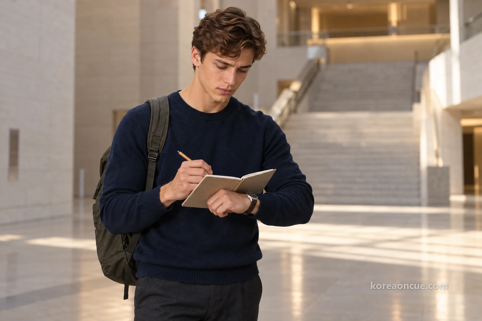
There are two ways to get descriptions in the 3rd-floor permanent exhibition. Audio guides are free to borrow at the 1st-floor information desk if you show ID and fill in a form. Scan the QR code on an exhibit label with your phone and a description page opens, and both options cover Korean, English, Chinese and Japanese. Noah chooses the QR codes, because text on a screen is easier to copy into his notebook. Guided tours of the permanent exhibition are all in the daytime, so in the evening, use the QR codes or an audio guide.
Where to start on the 3rd floor: Zone 1, Seoul in the Joseon Dynasty, and Zone 2, Seoul in the Era of Port Opening and the Korean Empire
Walk the 3rd-floor permanent exhibition from Zone 1 to Zone 4, in order of period. Zone 1 is the Joseon dynasty, Zone 2 is port opening and the Korean Empire, Zone 3 is Japanese occupation and Zone 4 is Seoul, capital of the Republic of Korea. Zone 5 is the Seoul City Model Gallery. Noah decides to leave Zone 5 until last. If he walks through time in order and then looks down on today’s Seoul, he thinks, the model will be the last chapter of that long story.
At 5:40, Noah enters Zone 1, Seoul in the Joseon Dynasty. Zone 1 shows a range of artefacts, centred on Hanyang’s Yukjo-geori, the street of government offices, and its sijeon markets, and reaching out to Bukchon, Jungchon, Namchon and Seongjeosimni. It has five sub-themes: the founding of Joseon and the capital Hanyang, changes in Hanyang, prosperity in Hanyang, villages inside the Hanyang city wall, and Seongjeosimni, Hanyang outside the wall. As the name says, Seongjeosimni means the part of Hanyang outside the city wall. Noah likes that just reading the sub-theme titles in a row shows the city spreading from the inside out.
On a new page, Noah draws three horizontal bands. From the top, they are Bukchon, Jungchon and Namchon. Around the bands he draws a dotted line, as if wrapping them in Seongjeosimni, and the old map from the Suseon Jeondo fountain outside settles over it in his head. He finds it fun that dividing neighbourhoods by name is not so different from how he divides his own maps today. Noting in small figures the time he enters each band, Noah walks slowly between the display cases.
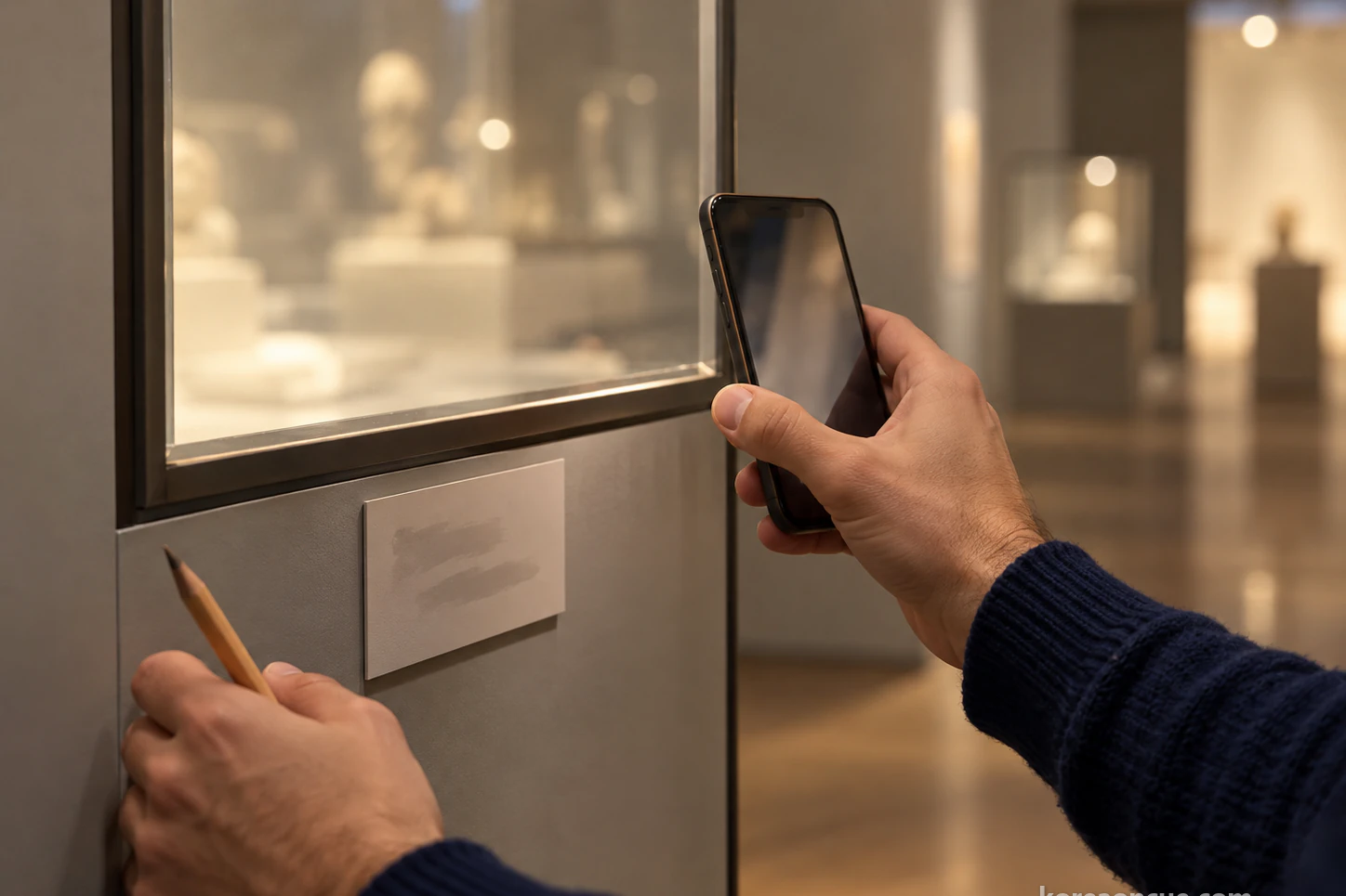
At half past six, Noah moves on to Zone 2, Seoul in the Era of Port Opening and the Korean Empire. Its sub-themes are facing the world, opening the doors to the world, Jeongdong as the new heart, and Jongno as the street of enlightenment. Noah stops at the word “Jongno”. The Jongru foundation stone and the market arcade remains he saw outside both came from Jongno. Noah circles Jongno twice in his notebook and draws an arrow from “things moved here” to the circle.
Through Zones 1 and 2, Noah notes the time he enters each zone. He spends about 50 minutes in Zone 1 and about 30 minutes in Zone 2. If you read slowly like Noah, allow about three hours for the whole 3rd floor. So even on a day when the museum closes at 9 pm, it is best to be on the 3rd floor before 6. If you arrive close to last entry at 8:30, one option is to see Zone 5, the Seoul City Model Gallery, first.
Zones 3 and 4: from Seoul under Japanese Occupation to Seoul, Capital of the Republic of Korea
At about seven, Noah enters Zone 3, Seoul under Japanese Occupation. Zone 3 opens with a timeline of how Korea lost its sovereignty from 1904 to 1910. Then it shows how the urban space of Gyeongseong changed as a colonial city from 1910 to 1945. It also covers the national independence movement, urban life as it modernised, and the lives of Gyeongseong’s citizens under the wartime system. Remembering the members of the Japanese Government-General building outside, Noah walks quietly through this room.
On Noah’s map, this period is like a line that was rubbed out and drawn again. If the members outside are the marks of the erasing, Zone 3 is when the line was first drawn. In Zone 3, Noah hardly opens his notebook and instead reads each QR description to the end. This time, he learns that some rooms need words before pictures. When he leaves Zone 3, there is only one time written in his notebook.
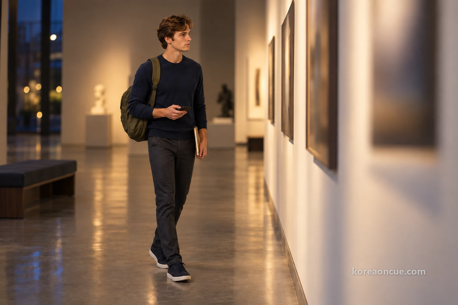
Noah enters Zone 4, Seoul, Capital of the Republic of Korea, at about 7:20. It shows how Seoul grew from ruins after the war into a world megacity. Its six sub-themes are Seoul in Liberation and war, Seoul rising again, the lives of Seoul people, becoming a megacity, Millennium Seoul from 1990 into the new millennium, and finally “Off to Gangnam!”. Noah laughs to himself at that last title. His notebook does not yet have a single map from the Gangnam side.
Noah folds over a blank page at the very back of his notebook and writes only “Gangnam” at the top. After seeing how the city spread across the river, he can see that his own maps lean to one side. Zone 4 ends with the Seoul of the new millennium, bringing the timeline close to today. Noah checks his watch and realises two hours have passed from Zone 1 to Zone 4. At 7:40, it is time for Zone 5.
There is also a rest area on the 3rd floor, where you can take a short break from the permanent exhibition. Walking all four zones in one go can tire your legs, so it is worth remembering. Leaving Zone 4, Noah looks over the times he has noted for each zone. More time fits on this one floor than on any neighbourhood map he has drawn. The distance is short but the time is the longest, a map of a shape he has never seen in his notebook.
What to see in the Seoul City Model Gallery: Seoul at 1/1500 on a model 21.5 m wide
Zone 5, the Seoul City Model Gallery, is an exhibition space on the theme “Seoul, Today and Tomorrow…”. In this 317.29 m² gallery is a large model of Seoul’s 605.25 km² at 1/1500. The model measures 21.5 m by 14.5 m. It lets you look down on the whole of Seoul at a glance, and during the extended evening opening it is open at night too. This model is why this piece has followed Noah all the way here.
Standing in front of the model, Noah does not take out his notebook for a while. The city he has drawn one neighbourhood at a time lies on a single board for the first time. First he traces the Han River across the city with his eyes, then uses it as a guide to guess where each neighbourhood he has walked would be. Mangwon, Ttukseom, Jegi-dong and Magok are much further apart on the model than he expected. In his notebook, the next neighbourhood is one page away, but here the gap between them is huge.
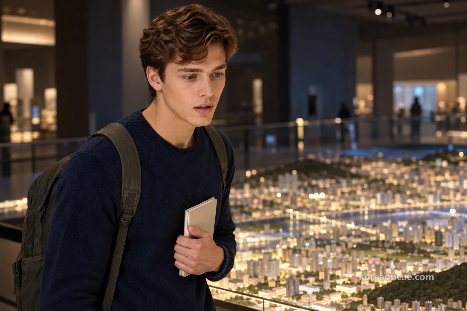
Coming back to himself, Noah starts with the sums. At 1/1500, 1 cm on the model is 15 m in real life. Noah writes “1 cm = 15 m” in his notebook. The 470 m he walked today from Gwanghwamun Station Exit 7 to the museum is about 31 cm on the model. The road he walked for seven minutes, marking seven ticks, is little more than a hand’s span.
Noah also multiplies the model’s 21.5 m width by 1,500. It comes to about 32 km. When he writes “about 32 km” in his notebook, Noah feels he understands why his maps never joined up. One neighbourhood took him half a day to draw, and the city is big enough to hold countless neighbourhoods like it. It is not that he failed to join them. He simply has not walked the spaces in between yet.

Noah turns to the page with the large border he drew outside. Inside it, he copies each of his neighbourhood maps as a piece the size of a fingernail. The spaces between the pieces are still empty. To Noah, those gaps are not a disappointment but a list of roads still to walk. The “Gangnam” page folded at the back goes onto the first line of that list too.
Make sure to see the Seoul City Model Gallery last. After walking Zones 1 to 4 in order of period, you can follow how today’s Seoul came to have this shape. Starting with Suseon Jeondo outside and ending with the model on the 3rd floor is a good order too. It takes you from one old map to today’s city on a single board. Noah writes this order at the top of his notebook as a single arrow.
Last entry at 8:30 pm, out before 9 and back to Gwanghwamun Station: the map sent to Hina
After 8:30, Noah marks in his notebook that “20:30” has passed. Nobody new can enter after this time, but Noah is already inside, so he stays in front of the model a little longer, until just before 9. When he comes down the central staircase to the 1st floor at about 8:50, the café has been closed for nearly three hours. Outside the main entrance, it is already pitch dark. Looking at that sky, Noah knows that seeing the outdoor exhibition before sunset was the right choice.
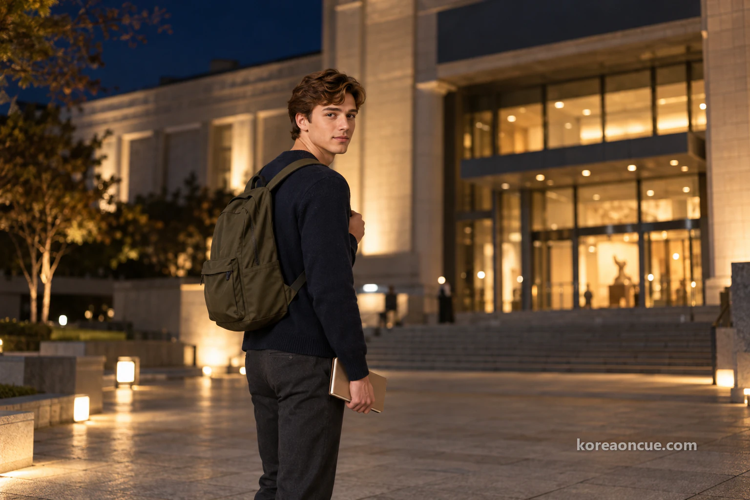
The way back is the same seven-minute walk to Gwanghwamun Station Exit 7. On the way to the station, Noah photographs today’s border map with his phone. At the very back of his notebook, the time map Hina gave him in Ttukseom on Halloween night is still tucked in. Since then, Noah has drawn maps the same way on the Gyeongchun Line Forest Trail, at Yangnyeongsi and at Seoul Botanic Park, and sent them to Hina in Tokyo. Today is the fourth.
Under the photo, Noah sends a short message. “Today I saw for the first time how far apart my maps are.” After sending it, Noah looks down once more at the empty spaces inside the border. The next map he sends will start somewhere in those spaces, he thinks. Noah puts his phone in his pocket and walks the last few minutes of the road.

If you visit the Seoul Museum of History before 30 November, avoid Thursdays and Mondays and choose a Tuesday, Wednesday, Friday, Saturday or Sunday evening. See the outdoor exhibition before sunset, and visit the café or buy souvenirs before 6. On the 3rd floor, walk Zones 1 to 4 in order of period, then finish at Zone 5, the Seoul City Model Gallery. Last entry is 8:30, so being on the 3rd floor by 6 at the latest gives you plenty of time. As Noah did today, looking down on the whole of Seoul is best left until the end of the day.
Common Mistakes
Going on a Thursday evening
even during the extended evening opening, Thursday hours are 09:00–18:00, with last entry at 17:30. To stay into the evening, go on a Tuesday, Wednesday, Friday, Saturday or Sunday.
Counting on the night of 30 November as your last chance
30 November is a Monday, when the museum is closed. The last day open until 9 pm is Sunday 29 November.
Planning to rest in the café after the exhibitions
the 1st-floor café and museum shop open 09:00–18:00. If you go in the evening, visit them first.
Arriving after 8:30 pm
the museum closes at 21:00, but last entry is 20:30. If you arrive late, see Zone 5, the Seoul City Model Gallery, on the 3rd floor first.
Leaving the outdoor exhibition until later
on November evenings, it gets dark outside quickly. See Streetcar No. 381 and the Suseon Jeondo fountain before you go in.
Mixing it up with the National Museum of Korean Contemporary History
they are two different museums. The Seoul Museum of History is at 55 Saemunan-ro, Jongno-gu.
Riding a kick scooter or bicycle in the outdoor exhibition
personal mobility devices such as bicycles, kick scooters and inline skates are not allowed in the outdoor exhibition area.
FAQ
Is there an admission fee?
No. Admission is free and self-guided, with no booking needed.
What time does it close?
Until 30 November 2026, it opens Tue, Wed, Fri, Sat and Sun 09:00–21:00 (last entry 20:30) and Thursday 09:00–18:00 (last entry 17:30). It is closed every Monday and on 1 January, and open when a Monday is a public holiday.
Which station and exit should I use?
Gwanghwamun Station (Line 5) Exit 7, 470 m, a seven-minute walk. There are also Seodaemun Station (Line 5) Exit 4 (600 m, 8 min) and Gyeongbokgung Station (Line 3) Exit 7 (720 m, 10 min).
Where is the Seoul City Model Gallery, and how big is it?
It is Zone 5 of the 3rd-floor permanent exhibition. It has a model of Seoul at 1/1500 measuring 21.5 m by 14.5 m, and it is open in the evening too.
What is open in the evening?
The 3rd-floor permanent exhibition, the Seoul City Model Gallery and the 1st-floor special exhibition halls.
Is there information in other languages?
In the 3rd-floor permanent exhibition, QR codes on the labels give descriptions in Korean, English, Chinese and Japanese. Show ID at the 1st-floor information desk to borrow a free audio guide in the same four languages. English guided tours take on visitors on site on Thursdays at 11:00 and 14:00, Fridays at 14:00 and Saturdays at 11:00.
Where can I leave my bags?
At the storage room to the right in front of the main entrance, free of charge.
Can I borrow a wheelchair or pushchair?
There are 13 pushchairs and 12 wheelchairs. The lift is on the left as you come in through the 1st-floor main entrance, in front of the toilets.
Who do I contact with questions?
The information desk, on 02-724-0274~6.
Recap — 30 seconds before you go
- Gwanghwamun Station (Line 5) Exit 7 → 470 m, a seven-minute walk → Seoul Museum of History (55 Saemunan-ro).
- Free · until 30 November, Tue, Wed, Fri, Sat, Sun until 21:00 (last entry 20:30) · Thu until 18:00 · closed Mon (last evening: Sun 29 November).
- Outdoor exhibition before sunset: Streetcar No. 381, members of the dismantled Gwanghwamun gate, the Suseon Jeondo fountain.
- 3rd floor: Zones 1 → 4 in order of period, then Zone 5, the Seoul City Model Gallery, last (Seoul at 1/1500, 21.5 m wide).
- Café and museum shop until 18:00 — in the evening, go there first.
Sources
- Seoul Museum of History — Visitor informationAddress: 55 Saemunan-ro, Jongno-gu, Seoul · Tue, Wed, Fri, Sat, Sun 09:00–21:00 (last entry 20:30), Thursday 09:00–18:00 (last entry 17:30) · extended evening opening 15 September–30 November 2026 · closed every Monday and 1 January, open when a Monday is a public holiday · free admission, self-guided · bag storage at the main entrance · 13 pushchairs and 12 wheelchairs · free audio guides and QR descriptions on the 3rd floor (Korean, English, Chinese, Japanese)checked 2026-10-28
- Seoul Museum of History — Notice on extended evening openingNo evening opening on Mondays and Thursdays for collection care and facility checks · Thursdays until 18:00 · open in the evening: the 3rd-floor permanent exhibition and Seoul City Model Gallery, and the 1st-floor special exhibition hallschecked 2026-10-28
- Seoul Museum of History — Directions by subwayLine 5 Gwanghwamun Station Exit 7, 470 m, 7 min · Line 5 Seodaemun Station Exit 4, 600 m, 8 min · Line 3 Gyeongbokgung Station Exit 7, 720 m, 10 min · Line 1 City Hall Station Exits 3, 1, 2, 850 m, 15 min · Line 2 City Hall Station Exit 12, 980 m, 16 min · information desk 02-724-0274~6checked 2026-10-28
- Seoul Museum of History — Directions by busTrunk buses at the “Seoul Museum of History · Gyeonghuigung Palace (central)” stop · buses at the “Seoul Museum of History, Gyeonggyojang, Kangbuk Samsung Hospital” stopchecked 2026-10-28
- Seoul Museum of History — AmenitiesFree bag storage to the right in front of the main entrance · lift on the 1st floor by the toilets to the left of the main entrance · café behind the central staircase on the 1st floor, 09:00–18:00 · museum shop in the courtyard lounge at the back of the 1st floor, 09:00–18:00 · rest area on the 3rd floorchecked 2026-10-28
- Seoul Museum of History — Outdoor exhibitionStreetcar No. 381 (built in the 1930s, in service for about 38 years until November 1968, moved here in December 2007, registered heritage on 24 August 2010) · main members of the dismantled Gwanghwamun gate · members from the demolished Japanese Government-General building · Suseon Jeondo fountain (Kim Jeong-ho, 1824–1834) · Jongru bell pavilion foundation stone and remains of the Jongno market arcades · overpass name pillars, the 1988 Seoul Olympics ceremonial bus and a five-storey stone pagodachecked 2026-10-28
- Seoul Museum of History — Permanent exhibition Zones 1–5Zone 1 Seoul in the Joseon Dynasty · Zone 2 Seoul in the Era of Port Opening and the Korean Empire · Zone 3 Seoul under Japanese Occupation · Zone 4 Seoul, Capital of the Republic of Korea, with sub-themes · Zone 5 Seoul City Model Gallery (317.29 m², Seoul’s 605.25 km² at 1/1500 on a 21.5 m × 14.5 m model)checked 2026-10-28
- Seoul Museum of History — Floor guide1st floor: information desk, special exhibition halls, children’s museum, café and museum shop · 3rd floor: permanent exhibition Zones 1–4 and Zone 5, the Seoul City Model Gallerychecked 2026-10-28
A Seoul story told with our AI characters. Place details are checked against public sources; the photos are AI-made illustrative images. How we use AI
More from this area
Rina walks Gyeonghuigung on a late-autumn afternoon, six boxes from Heunghwamun to Seoam
At Changdeokgung, Rina learned the name “Eastern Palace”, and she has wondered ever since about its partner, the “Western Palace”.

Walking Along Deoksugung’s Stone Wall
Elena has seen this wall path in more dramas than she can count.